13 Places · the route Tim took
The route Tim took
13 places · 61 public-safe photos
Follow the stops in the order Tim remembers them. Stories and photos are public; sign in to open exact direction links, current access labels, and your private checklist.
Free hunter account
Stories and Photos Are Open. Exact Links Stay Locked.
All thirteen place stories and public-safe photos are public below. Exact Google Maps links require a Hunter account and current participation access.
What to Look For
The ID was found. Everything else below may still appear in the same 13-place search area.
Tim's ID
FOUND. Tim has it back. The red stamp on its public image is a reversible page overlay.
Cash approaching $10,000
The original confirmed photo showed the initial cash. Tim keeps retracing his steps, and the current estimate is approaching $10,000. The finder may keep the cash.
Two Diamond Rings
Tucked in a teeny baggie. They may have separated from the bundle — possibly TWO things to find, in two different spots.
Also photographed: a yellow keychain and an Alberta Open Farm Days flyer. See the last-known evidence
The 13 Places
Browse all 61 public-safe field photos below. Sign in to My Hunt when you are ready for precise directions and a private checklist.
The search area is organized into thirteen named places. Follow the current area labels and safety notices before entering any zone.
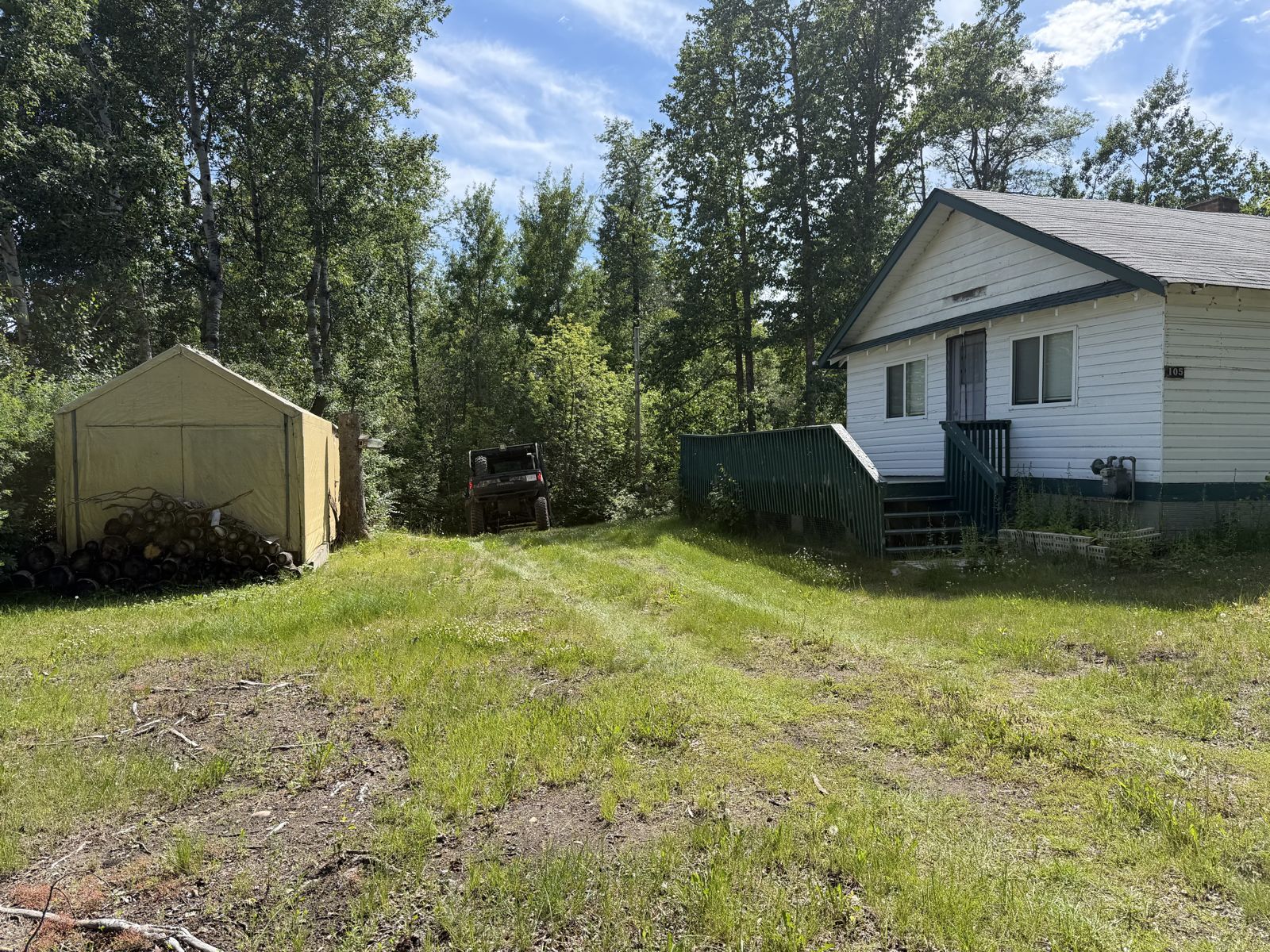
The Creek Property — The Starting Point
“We started at the Creek Property — got out, walked across the deck and down to the creek. Anyone can walk through it right now.”
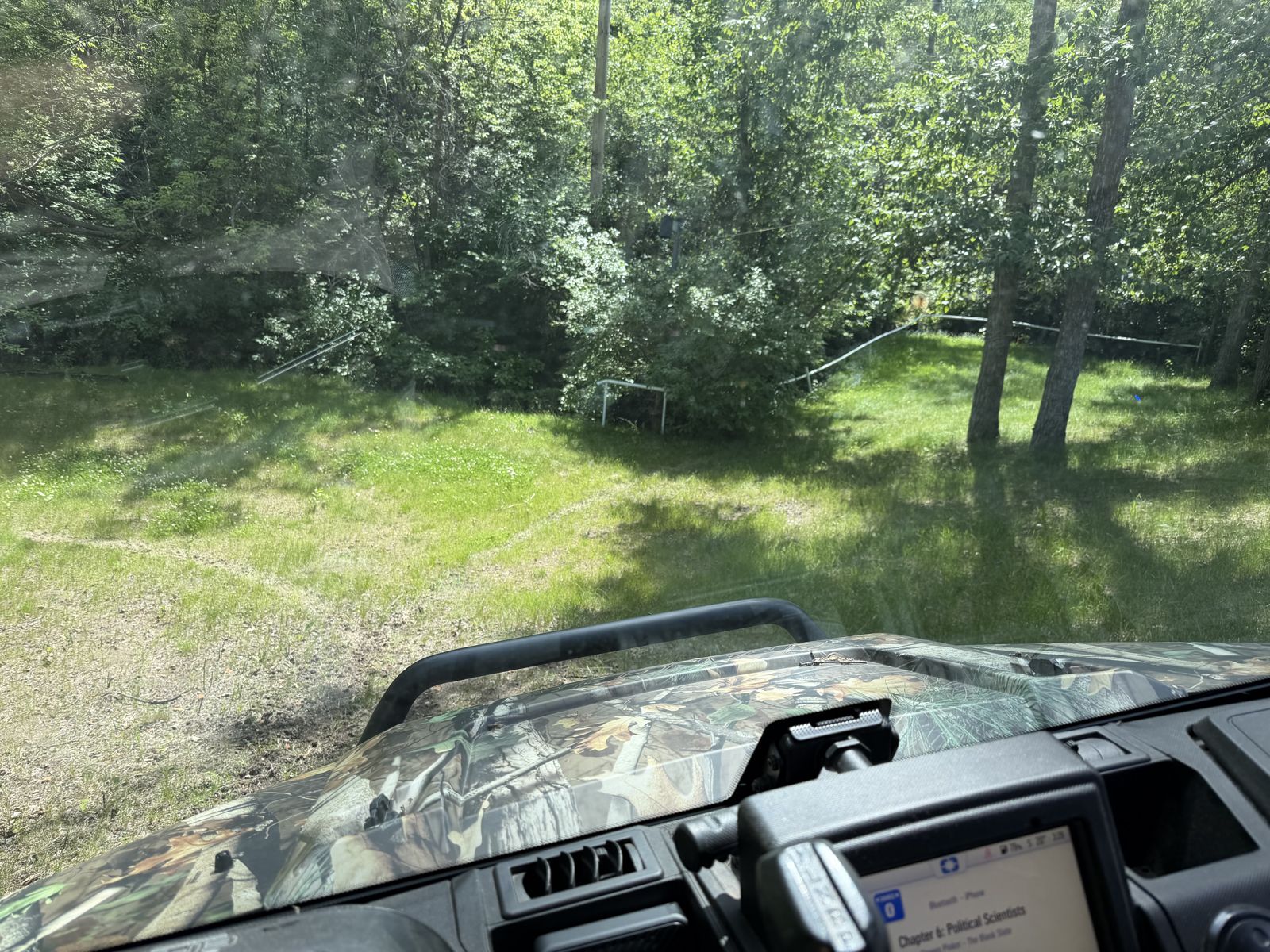
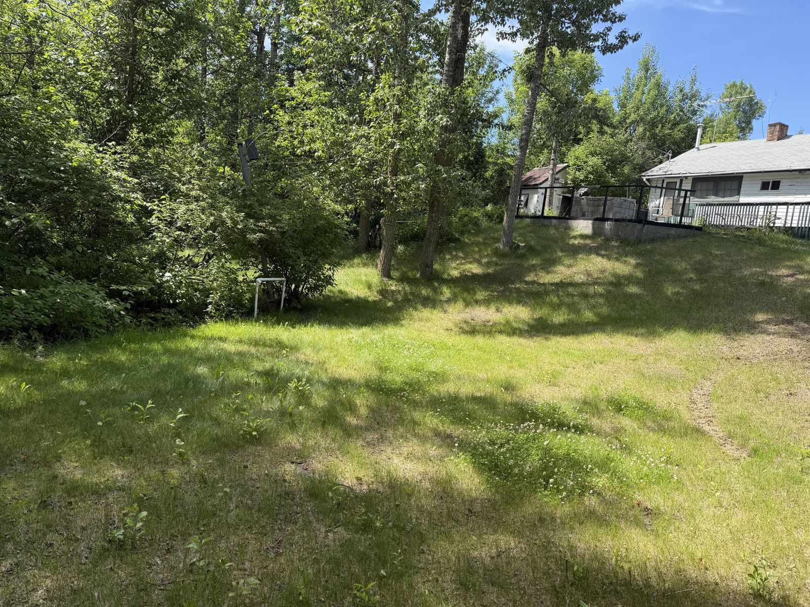
What the photos show: A double lot with an old white house, covered deck, and a firewood shed, the yard sloping down to the brushy creek line. The tour rolled out from right here.
The Public Beach & Farmers' Market Lot
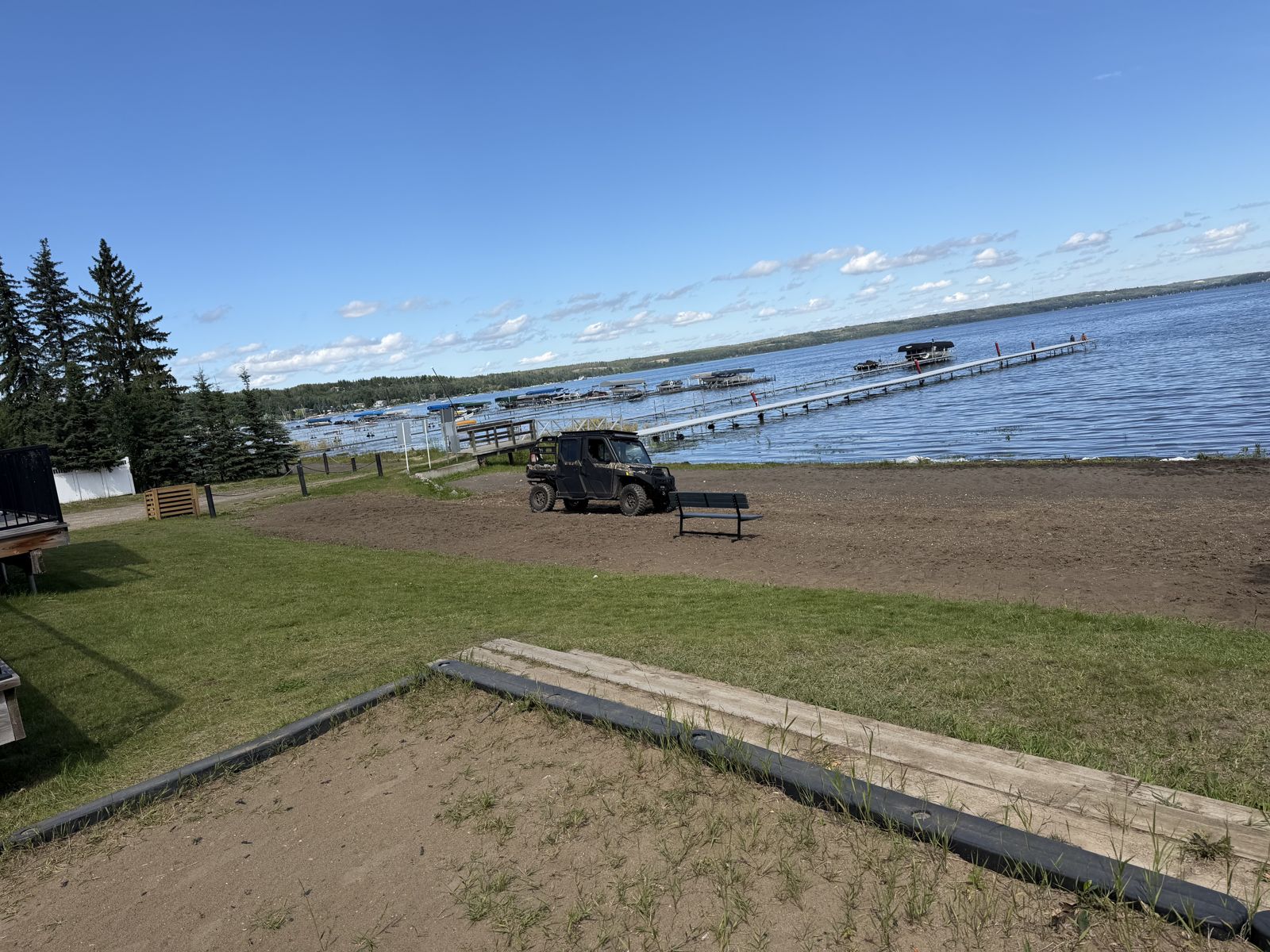
“We drove through the market lot — the market runs Saturdays, so it was empty.” The public beach is right here too — the village's open stretch of sand and docks.
What the photos show: Seba Beach's public beach and the open lot beside it where the Saturday Farmers' Market sets up — groomed sand, a bench, the multi-slip docks, and the pavilion grounds.
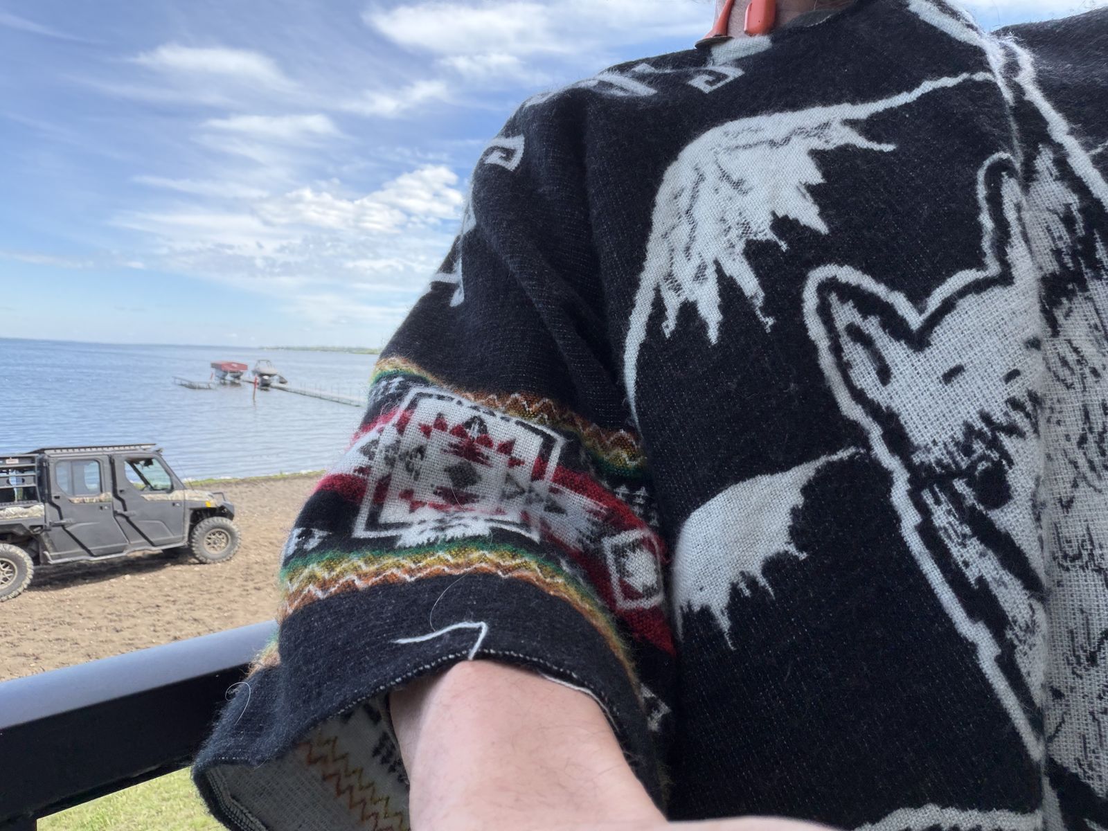
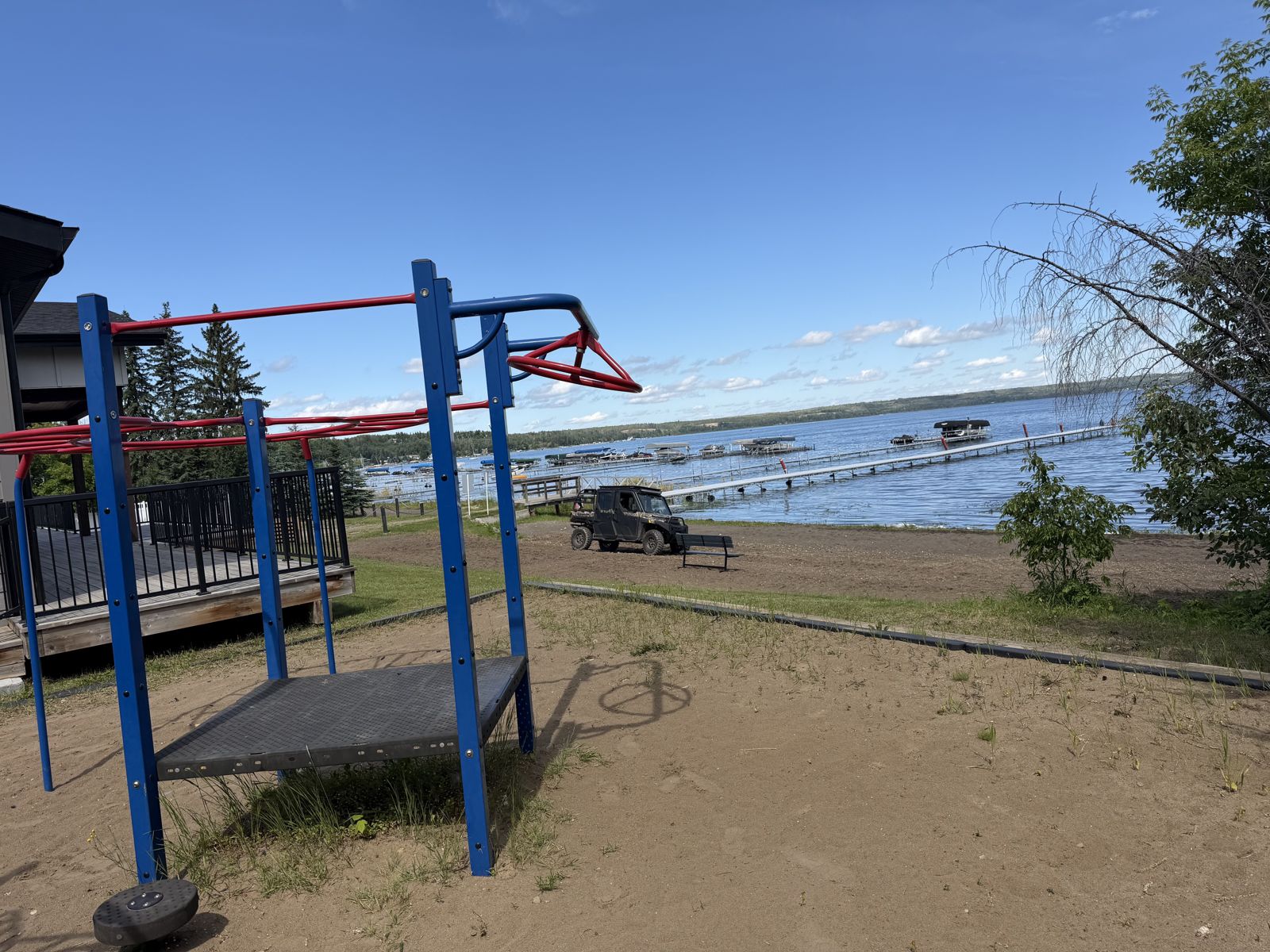
The Beach (Randy's) — Open to Everyone
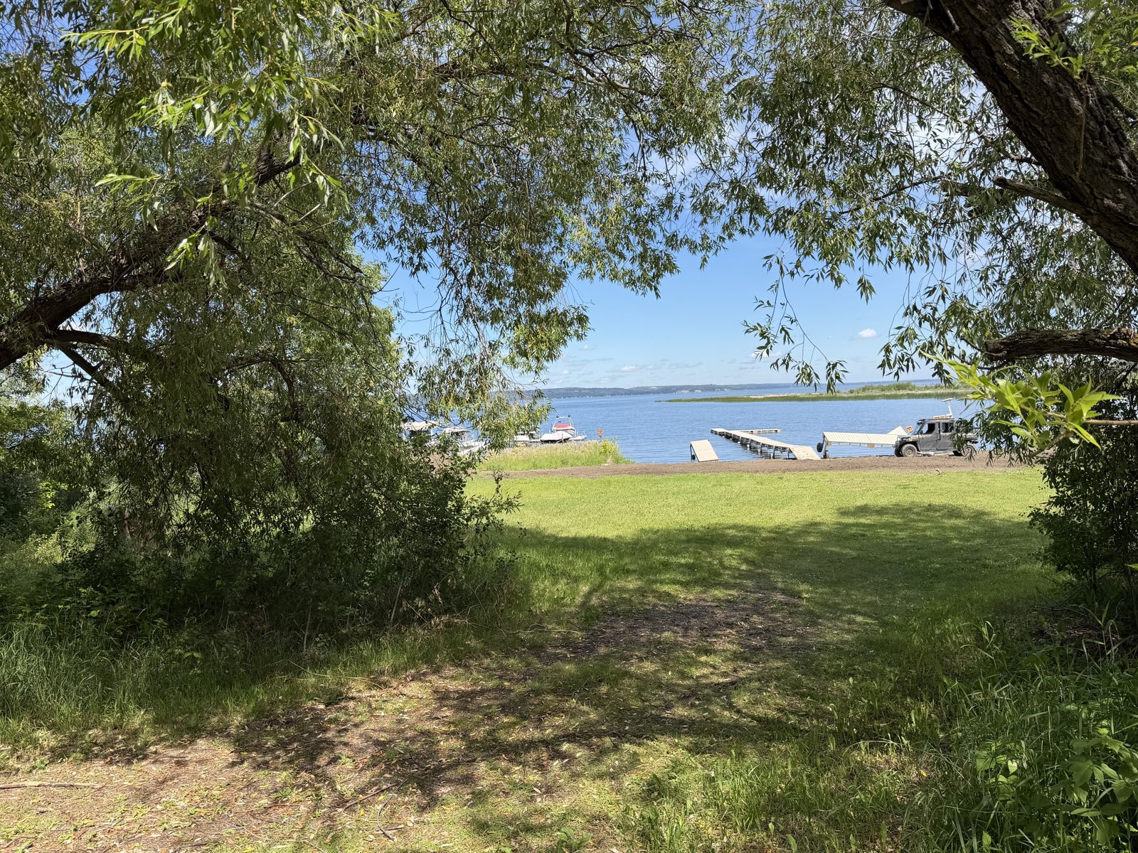
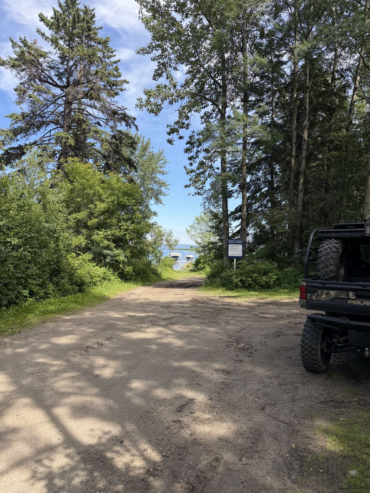
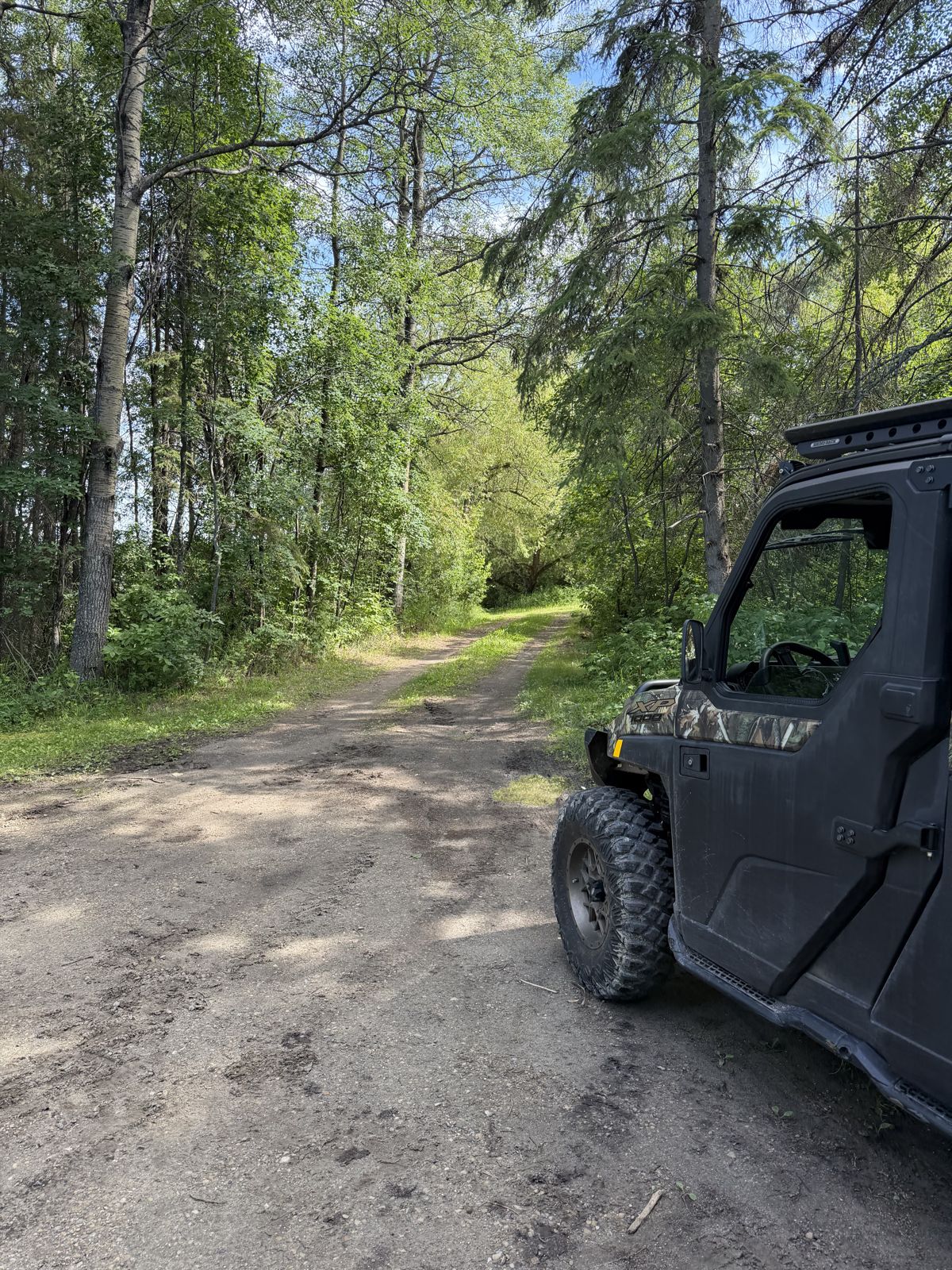
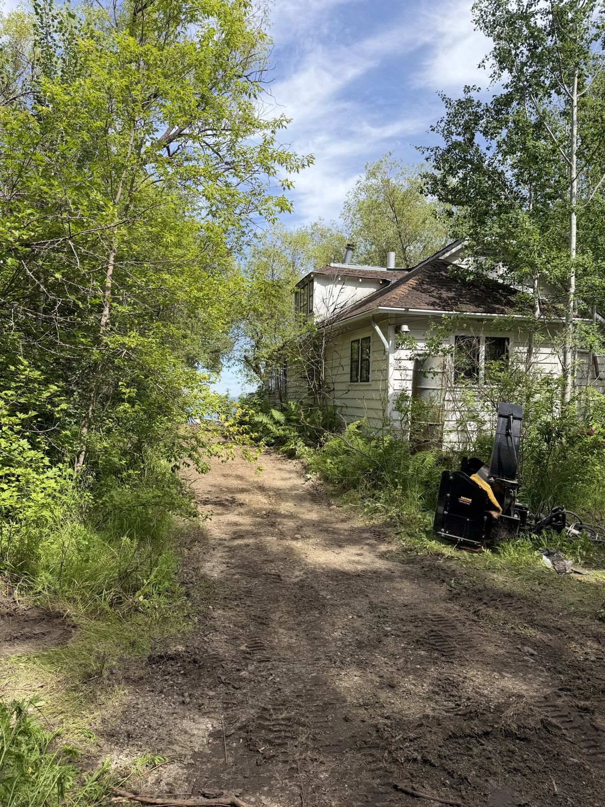
“Randy just opened it up and did a fantastic job. I had the cash out right here — photographed it to text Randy.” This is the last confirmed sighting of the cash.
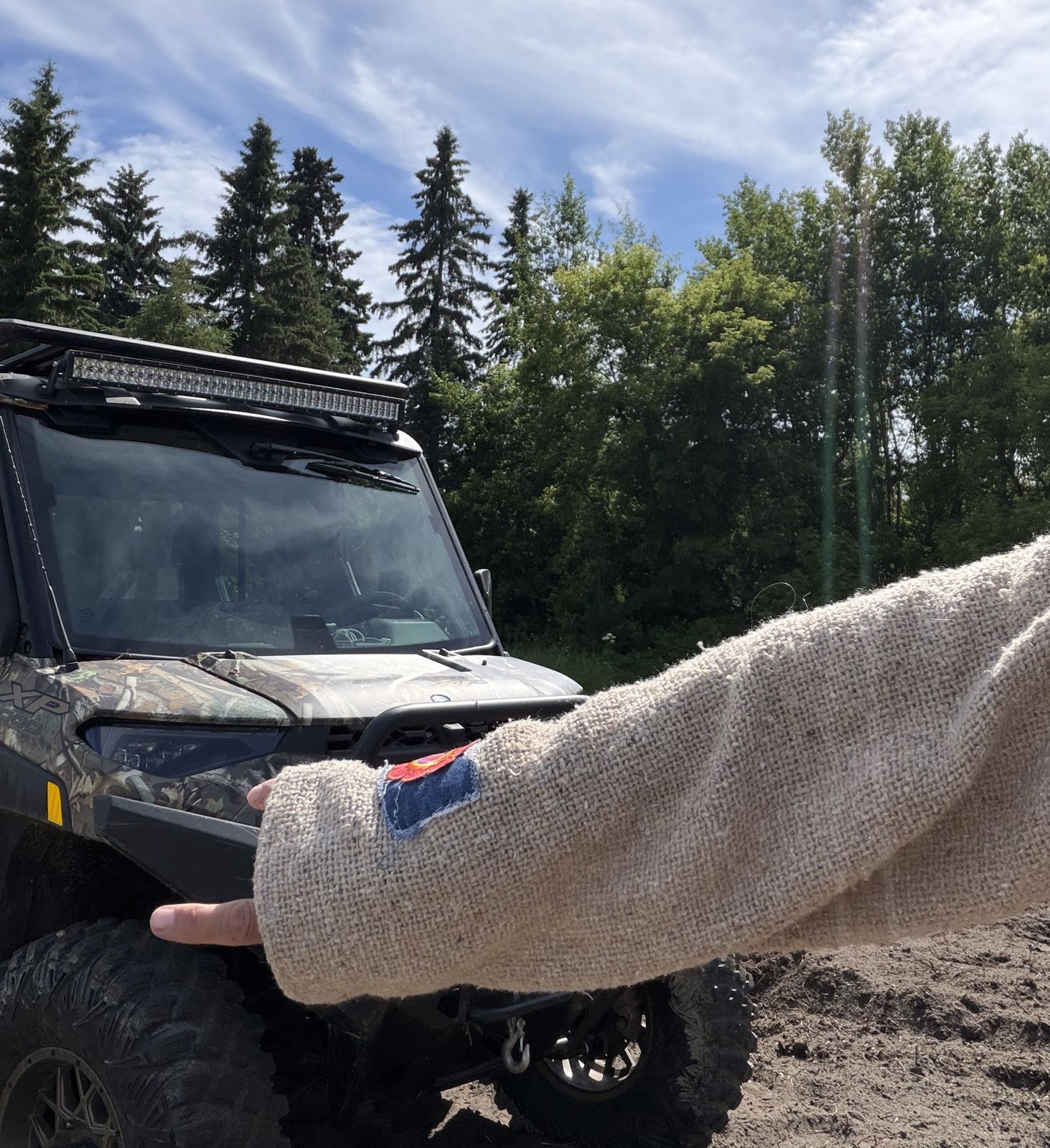
What the photos show: The property's own stretch of waterfront, freshly opened and tilled soft by Randy and his crew. A sandy, tire-churned shoreline and dock ramps give way to a rough trail into thick poplar and spruce; the final frame is the photo Tim texted Randy, cash in hand.
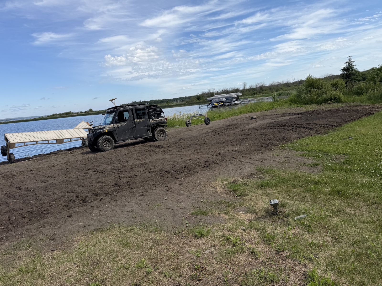
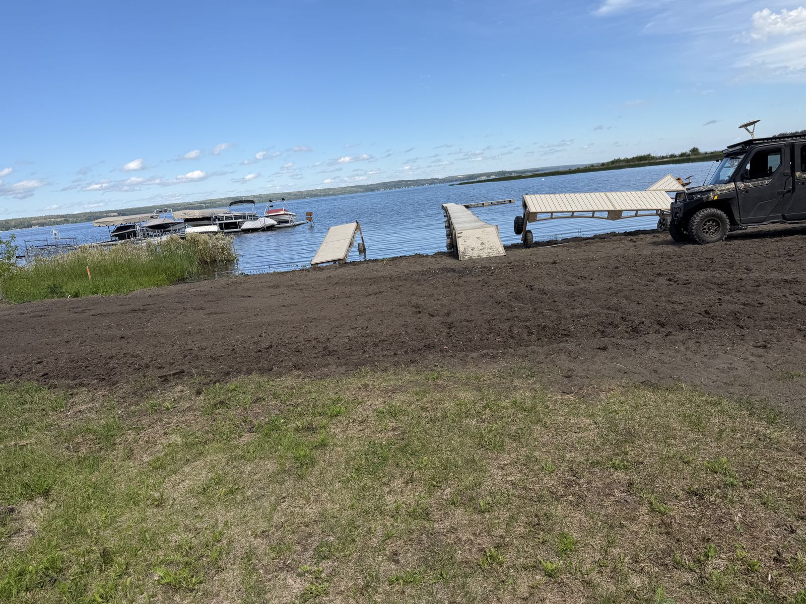
Seba Beach Seniors Centre
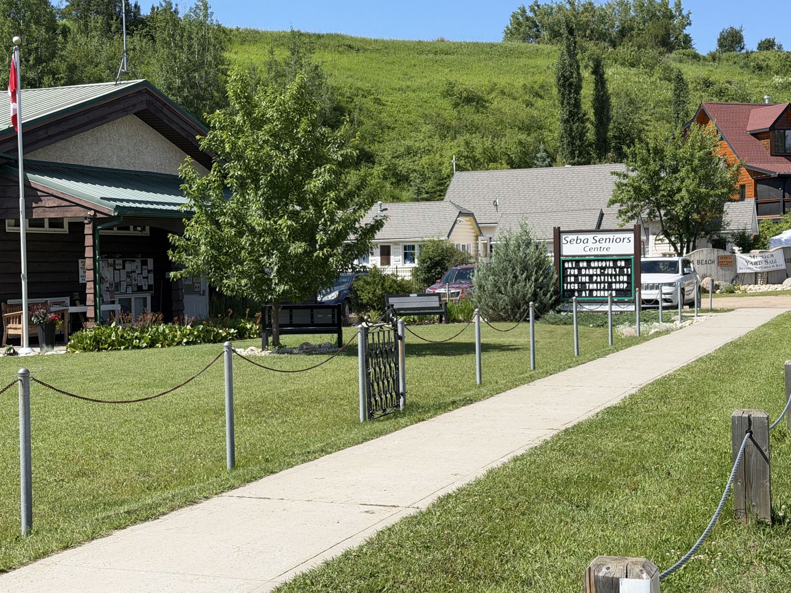
The route passes through the heart of the village by the Seba Beach Seniors Centre, one of the town's familiar landmarks.
What the photo shows: The Seba Beach Seniors Centre, including its covered porch and reader board. Remain on public sidewalks and paths without blocking doors, parking, the thrift shop, or accessible routes.
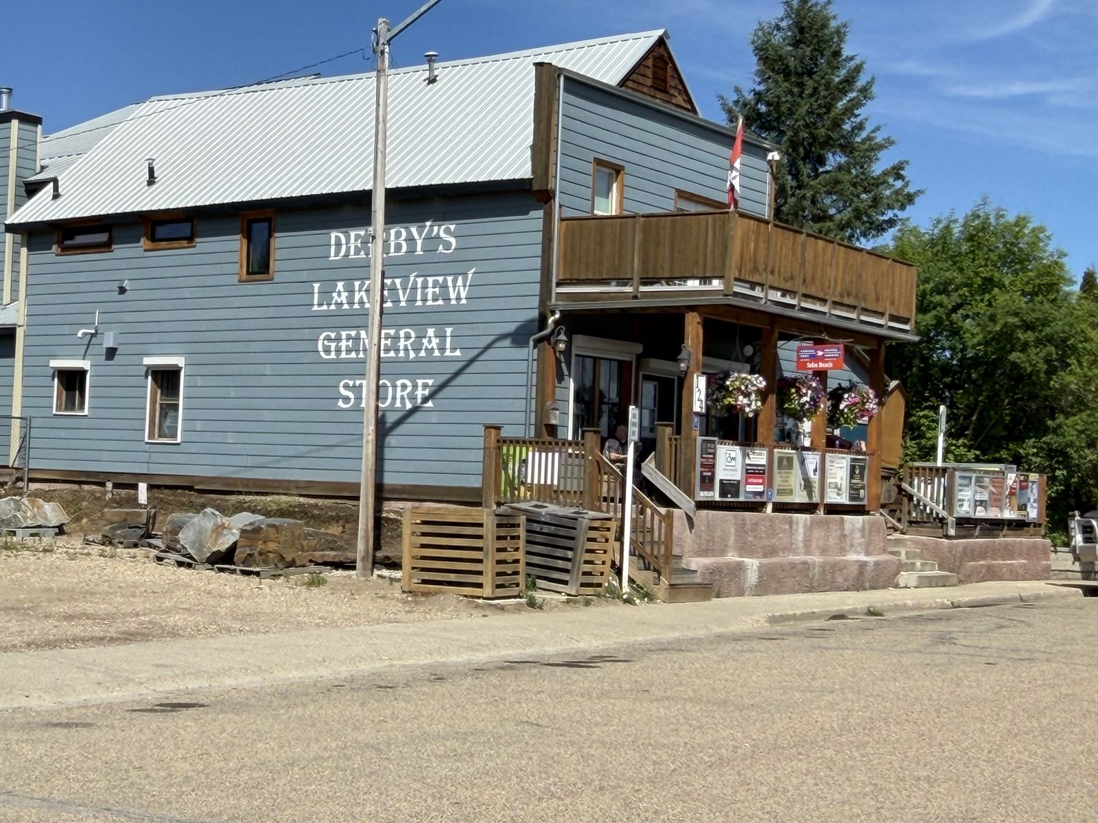
Derby's Lakeview General Store
The in-town route continues past Derby's Lakeview General Store, a long-standing Seba Beach storefront.
What the photo shows: Derby's blue-grey storefront, painted signage, balcony and entrance. Remain on public sidewalks and paths without blocking the business, doors, parking, deliveries, or accessible routes.
The Gated Road & the School Grounds
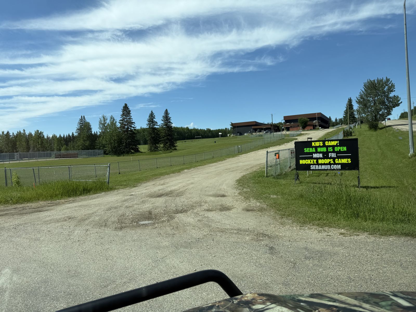
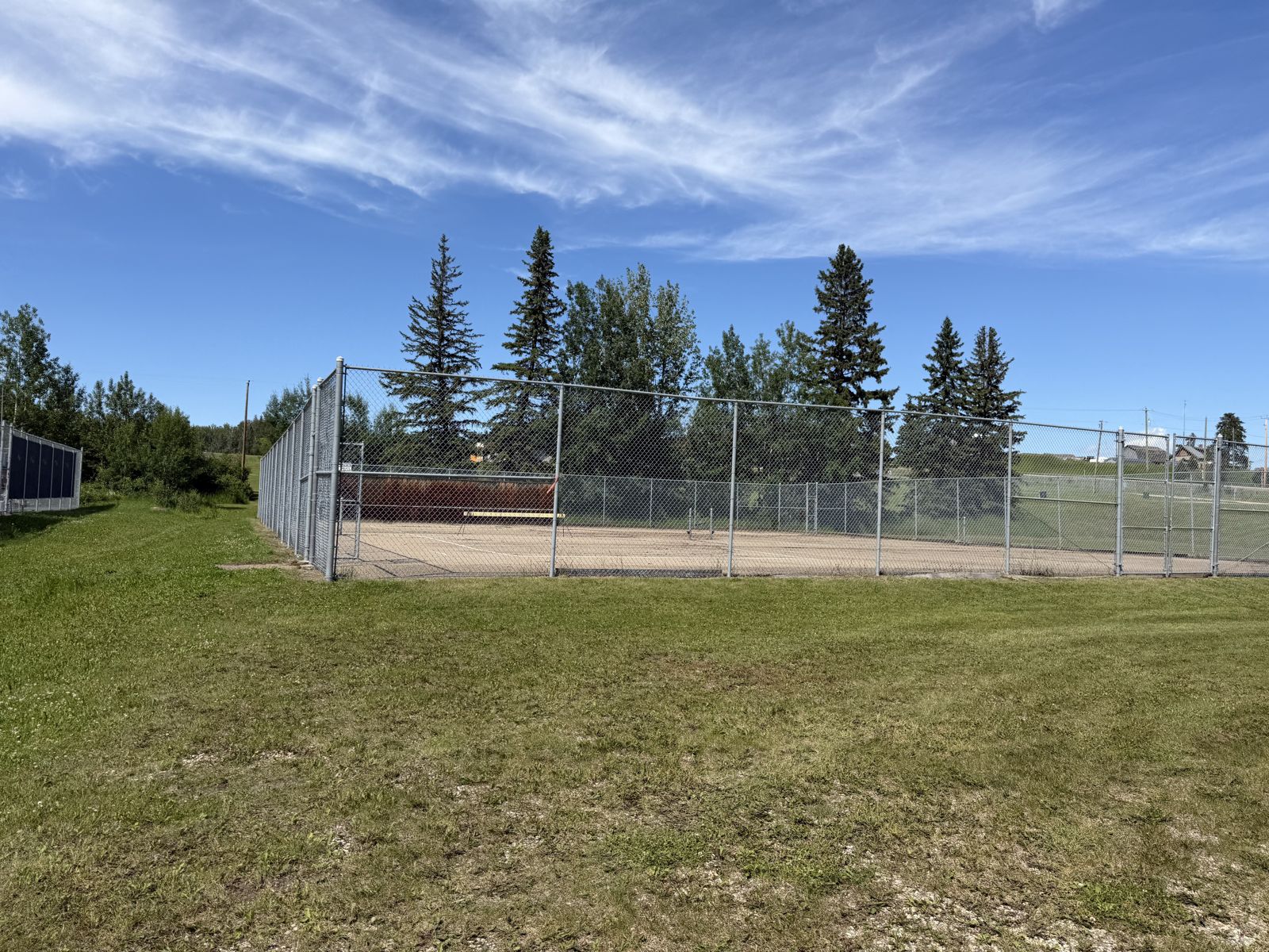
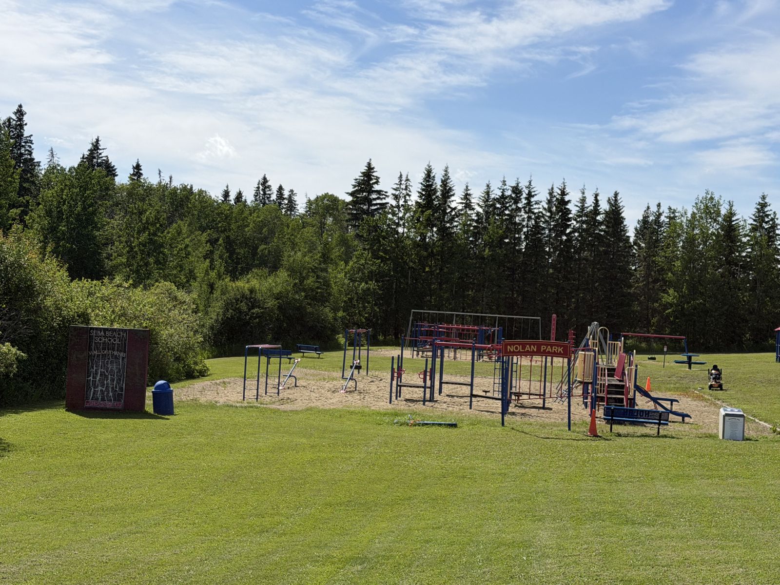
“We came back out through what we call the secret road — up by the gate. The gate was locked, so we went through the woods by one of the yards off the highway. Ian knows all these little routes.”
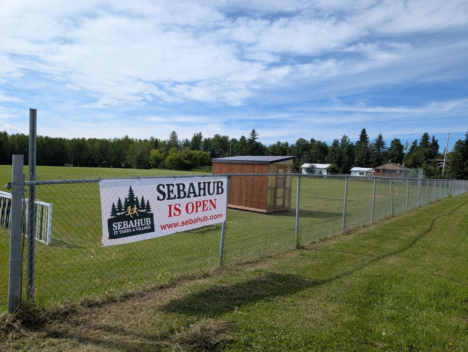
What the photos show: The sometimes-gated road climbing up to the old school, and the school grounds themselves — including the old tennis court that's joining SebaHub's summer hockey-tournament programming (sebahub.com).
The Back Trails (2–3 km)
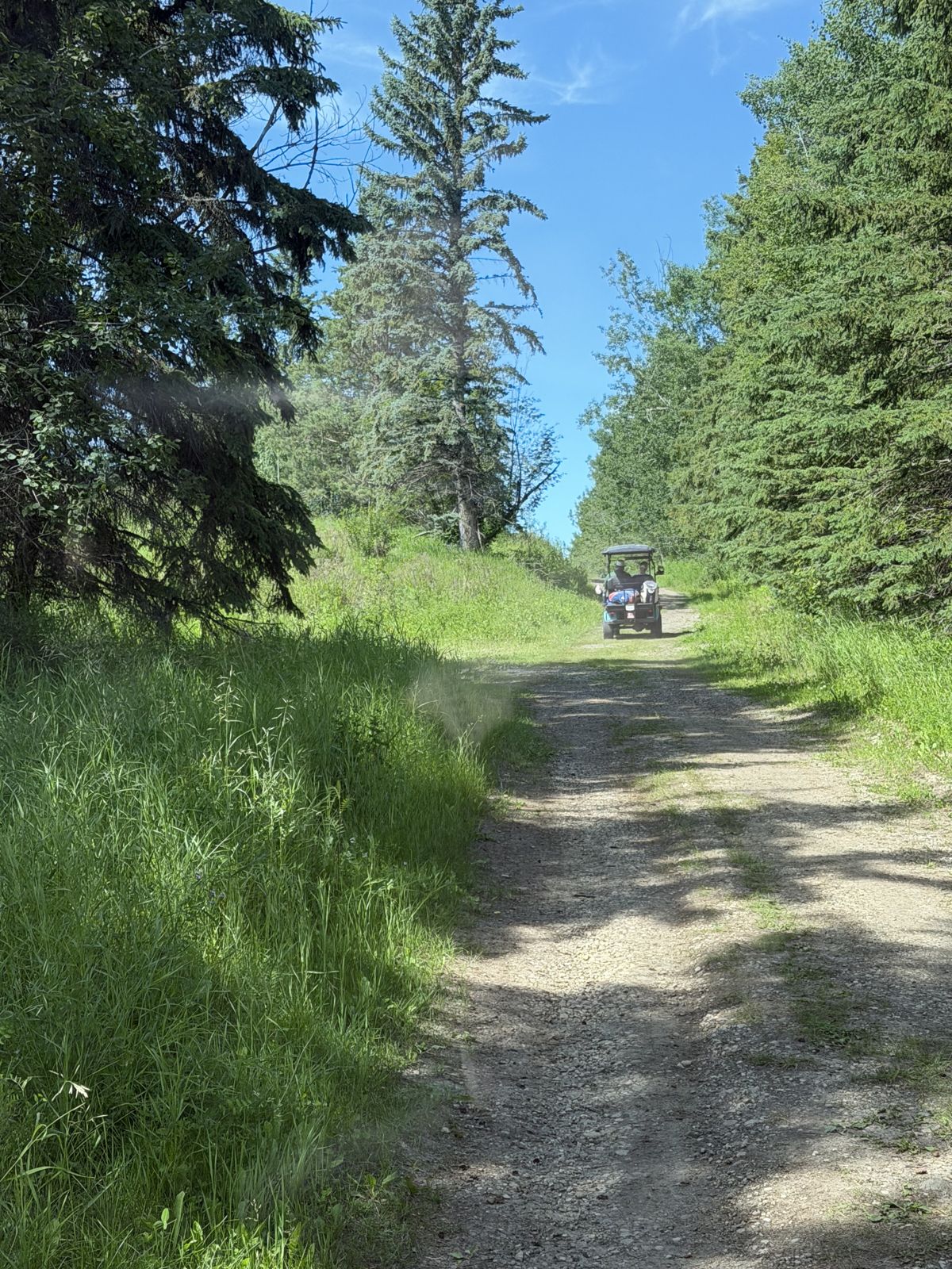
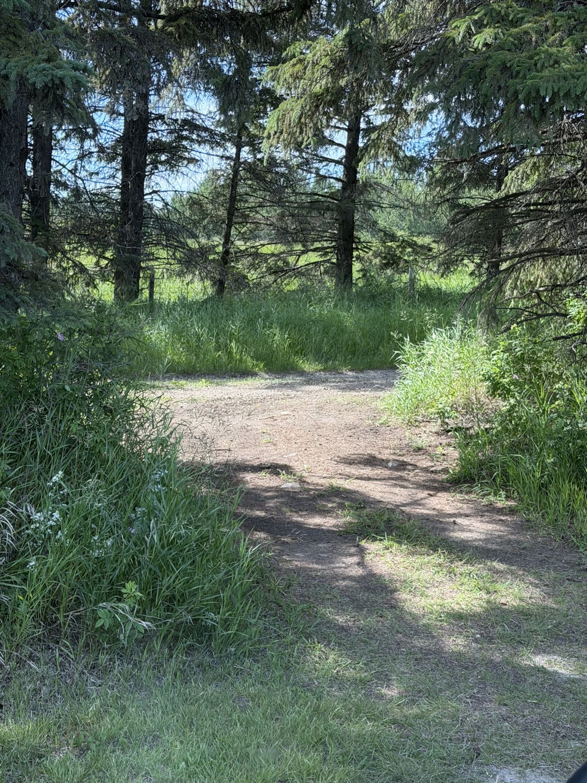
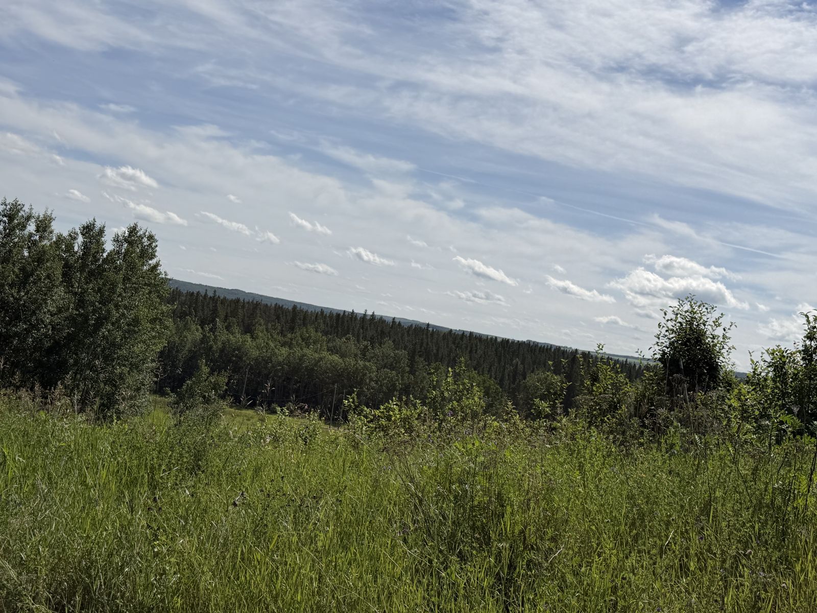
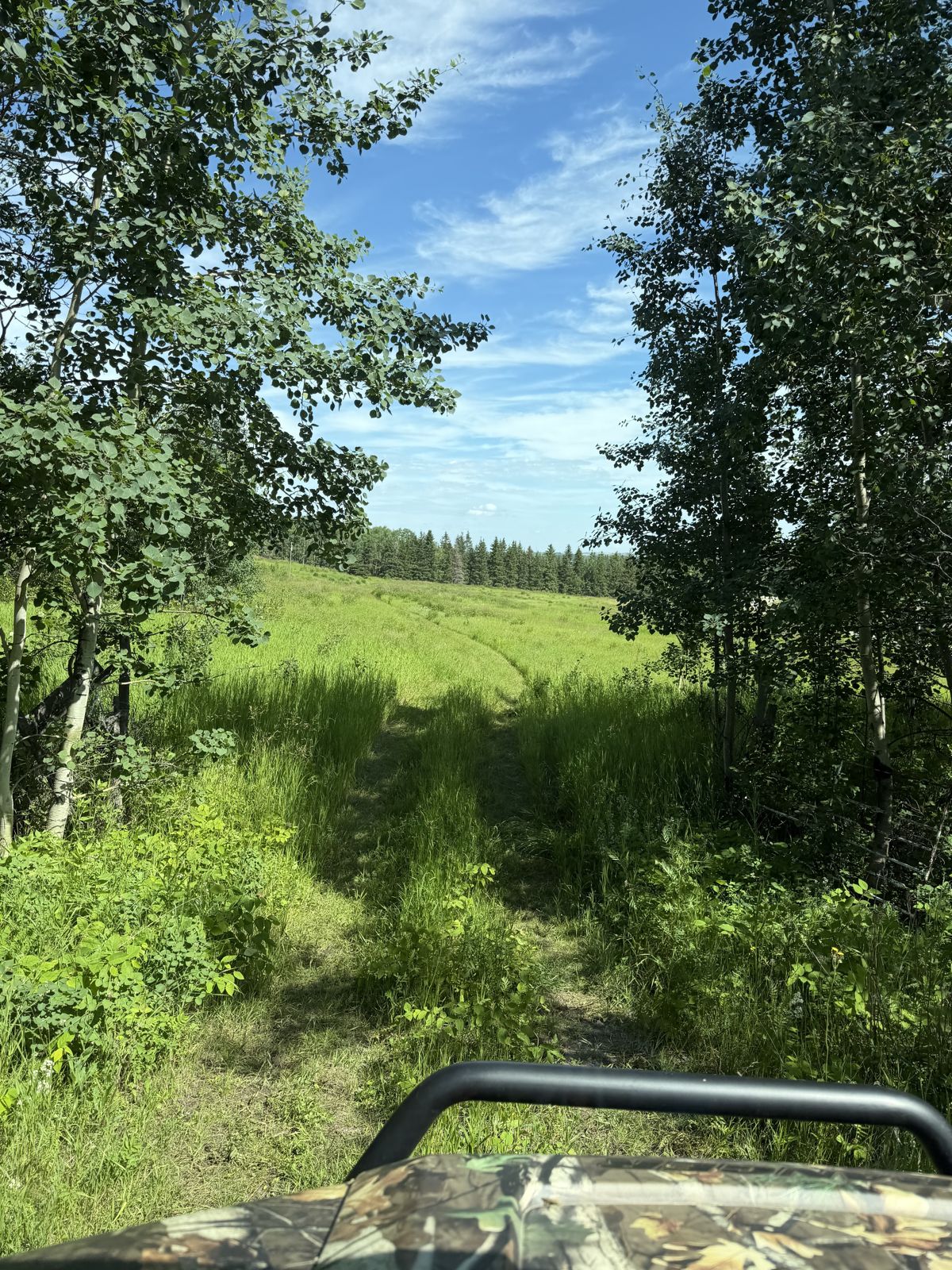
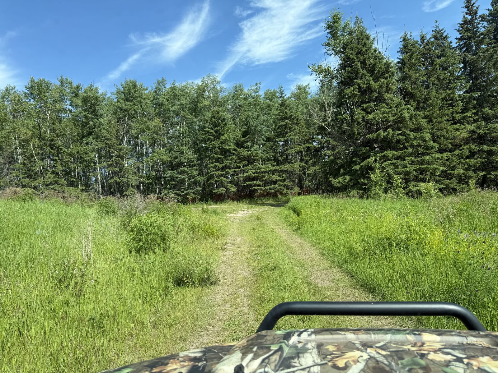
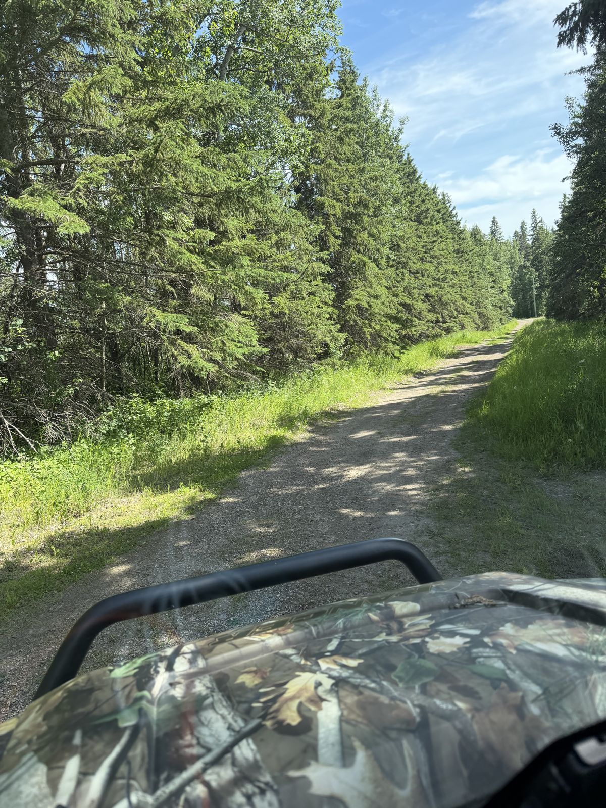
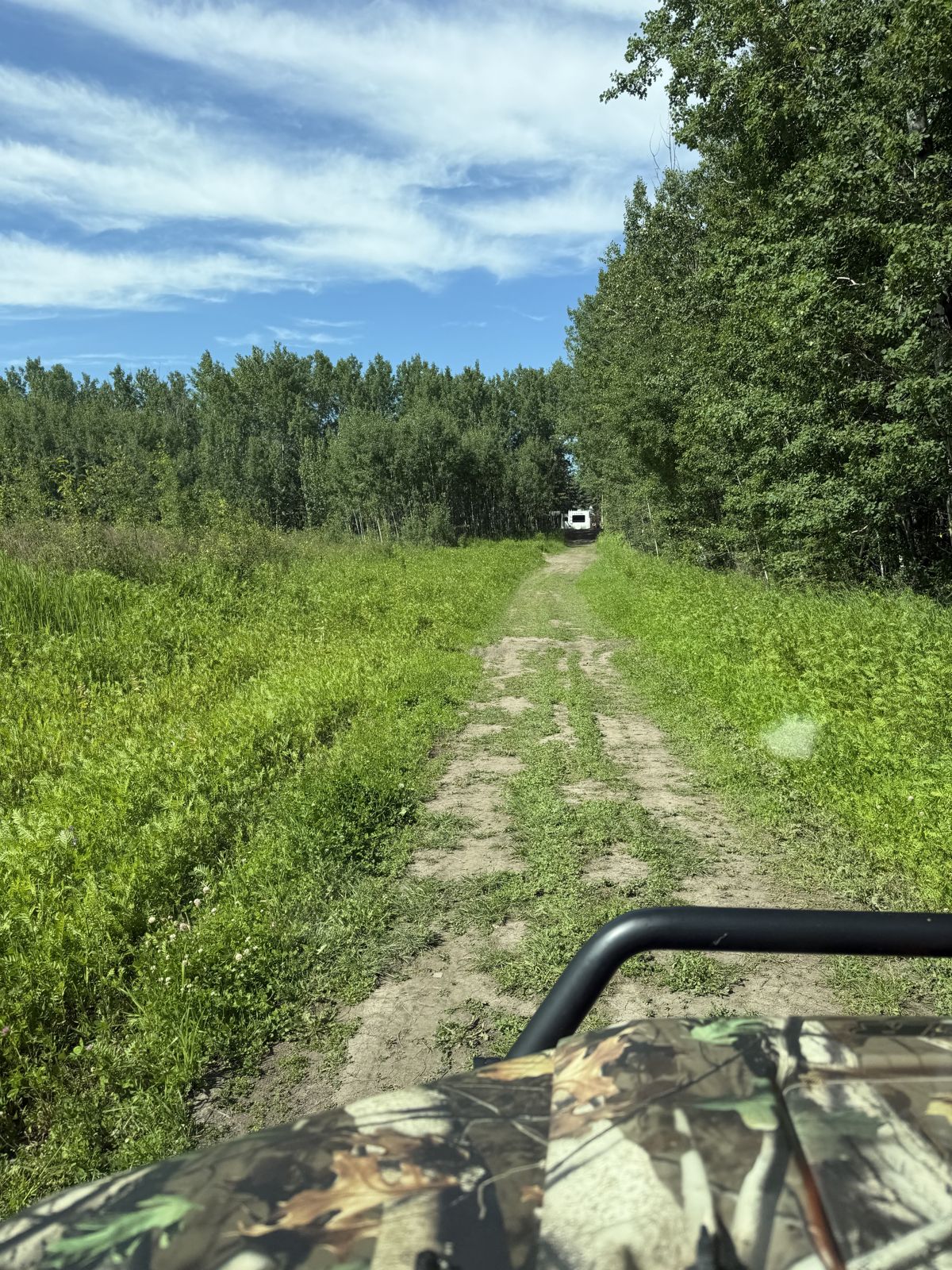
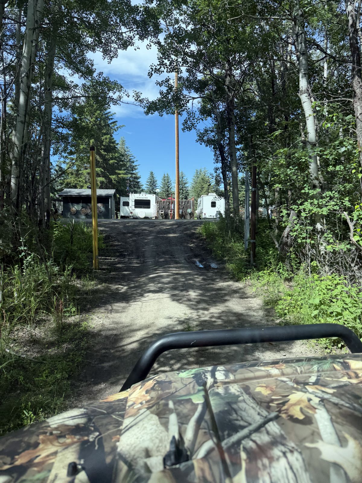
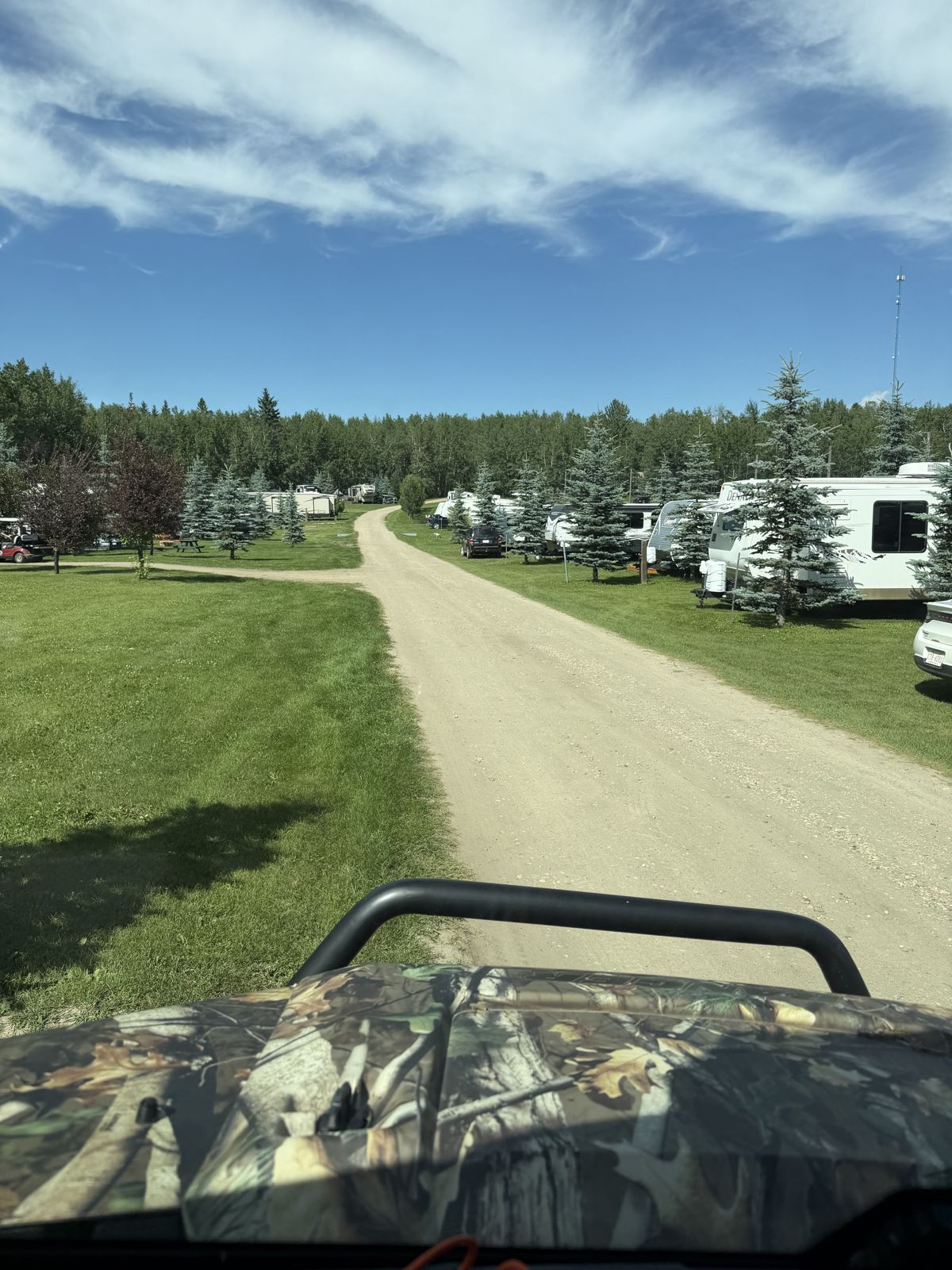
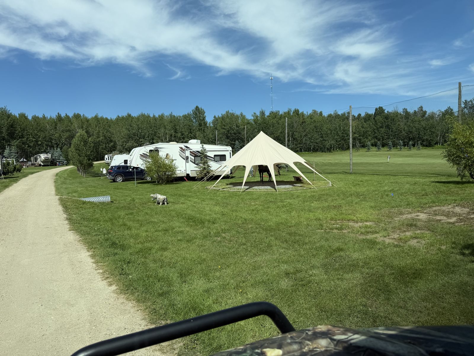
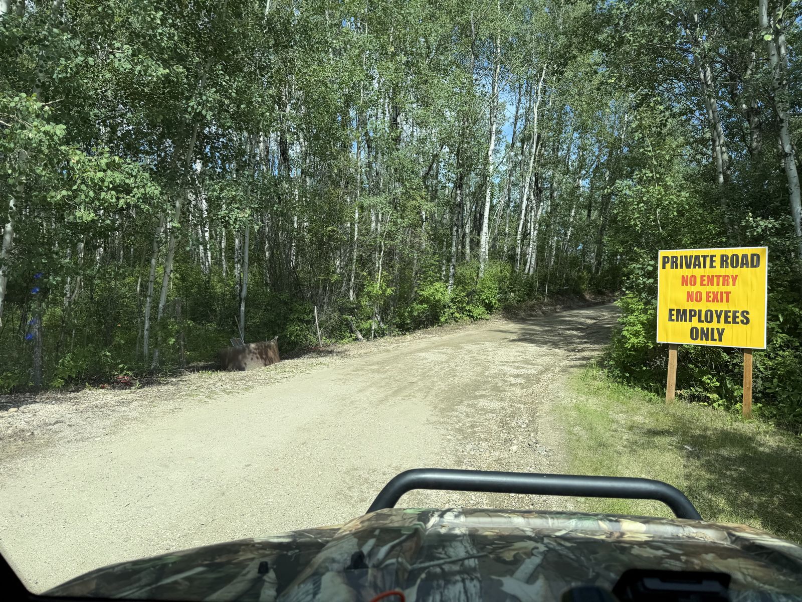
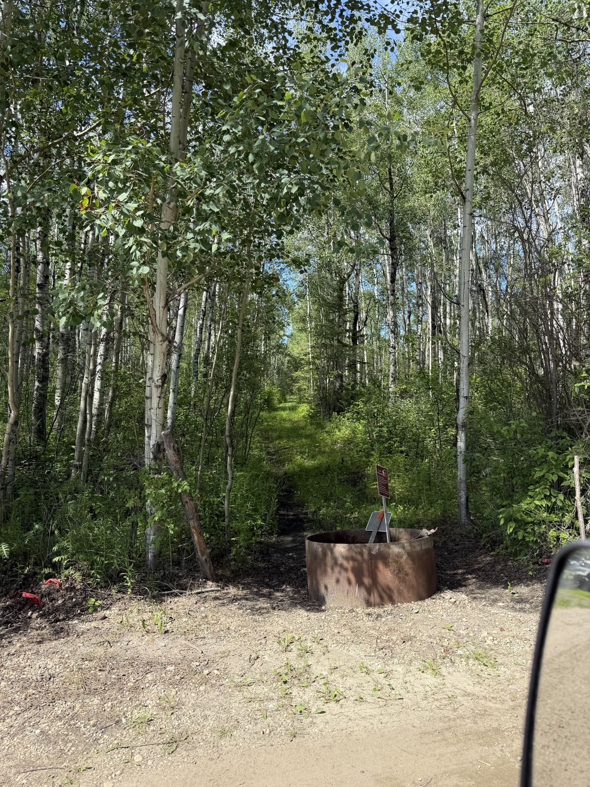
“Turned right before the staff area and squeezed the side-by-side in — two, three kilometres of twisting trails, bouncing around a fair bit.”
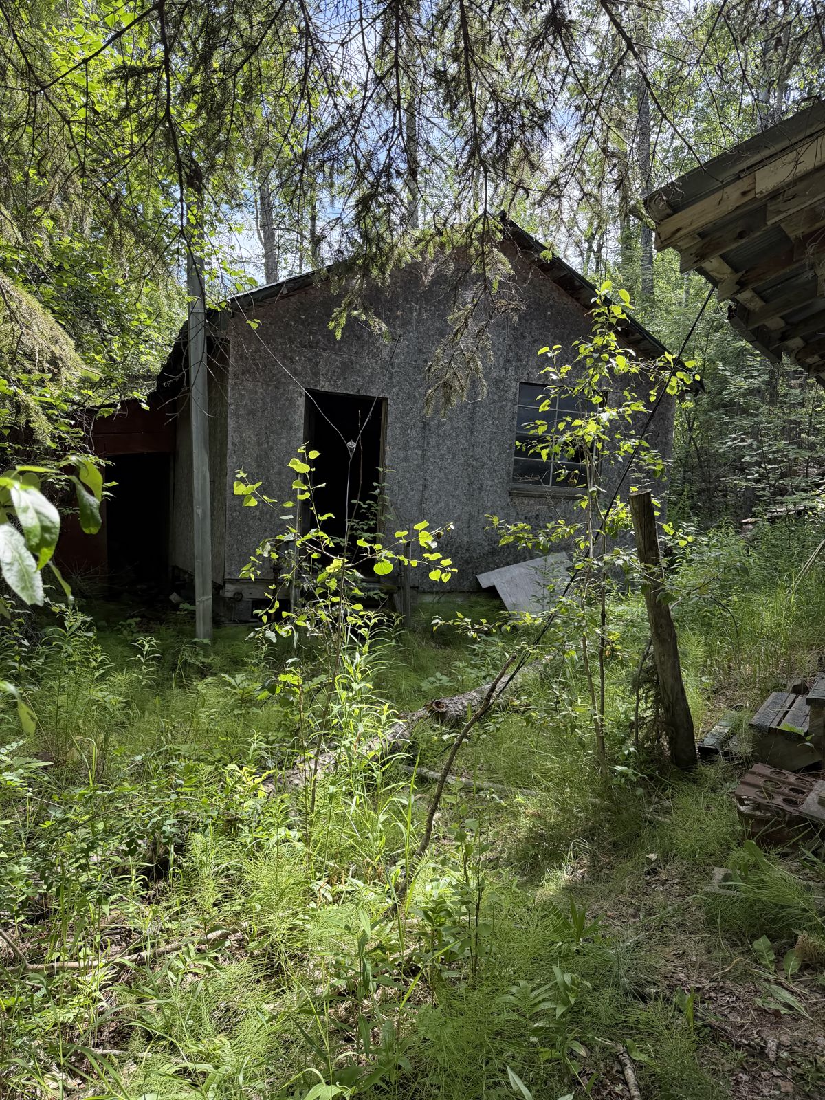
What the photos show: The full trail corridor: tight tree-lined double-track west of town, a mown run through the tall-grass meadow, then the long twisting stretch north past the power poles to the edge of the Kokanee Springs campground. Prime ground for something to bounce loose.
The Lodge Trails (The Log Cabin)
“We came out at the log cabin — weddings go on there, so we circled the outside on the trails.”
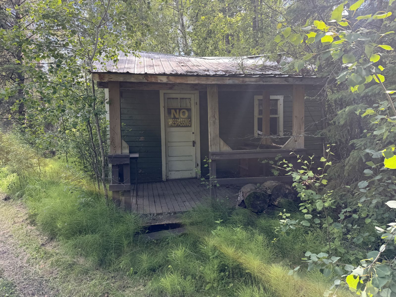
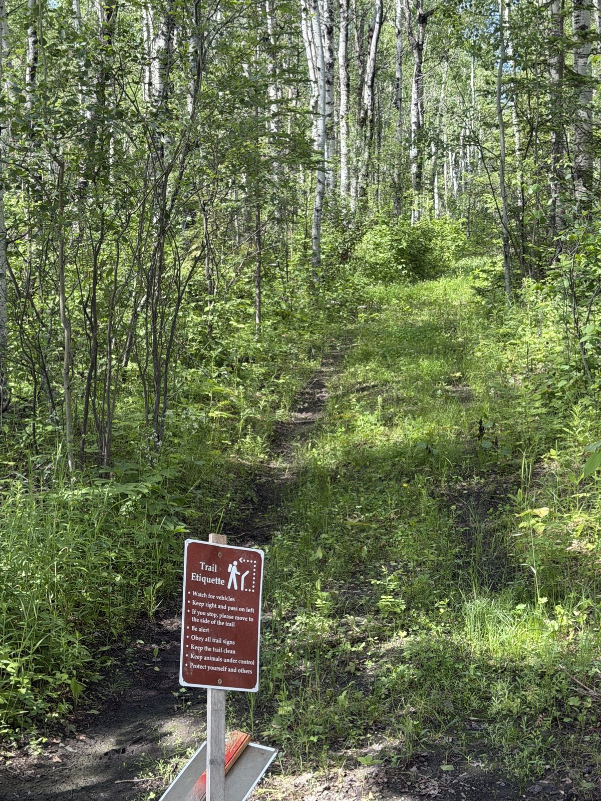
What the photos show: The trail system up by the lodge — the wedding-venue log cabin sits in these trees; the tour circled its perimeter without getting close.
The Vista Lands
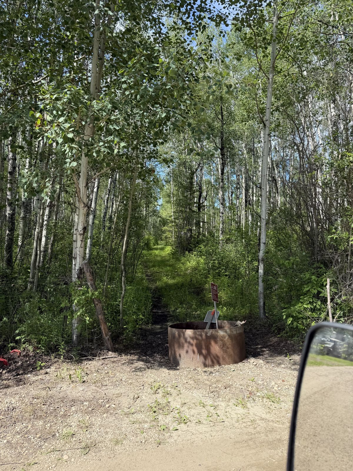
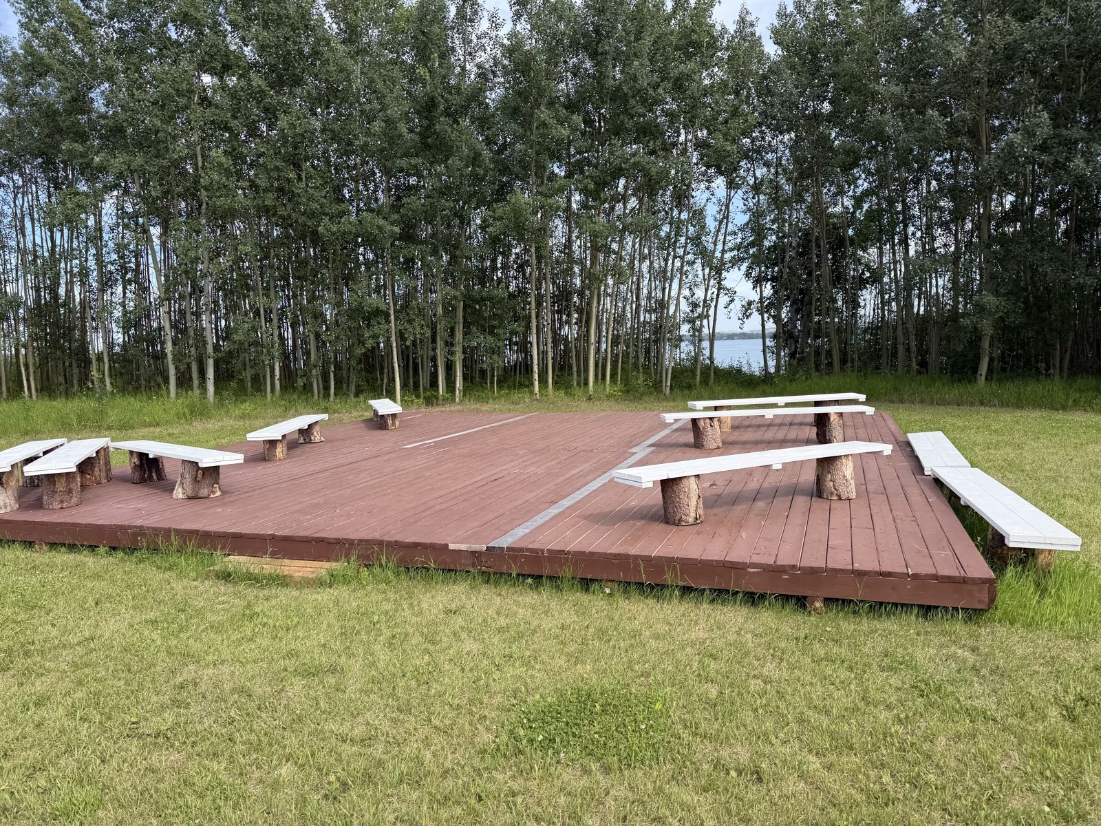
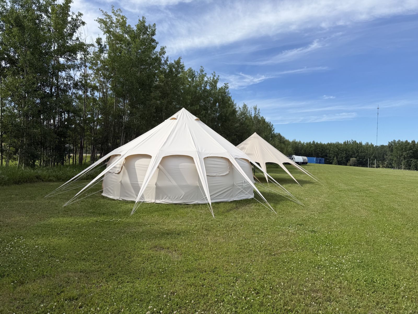
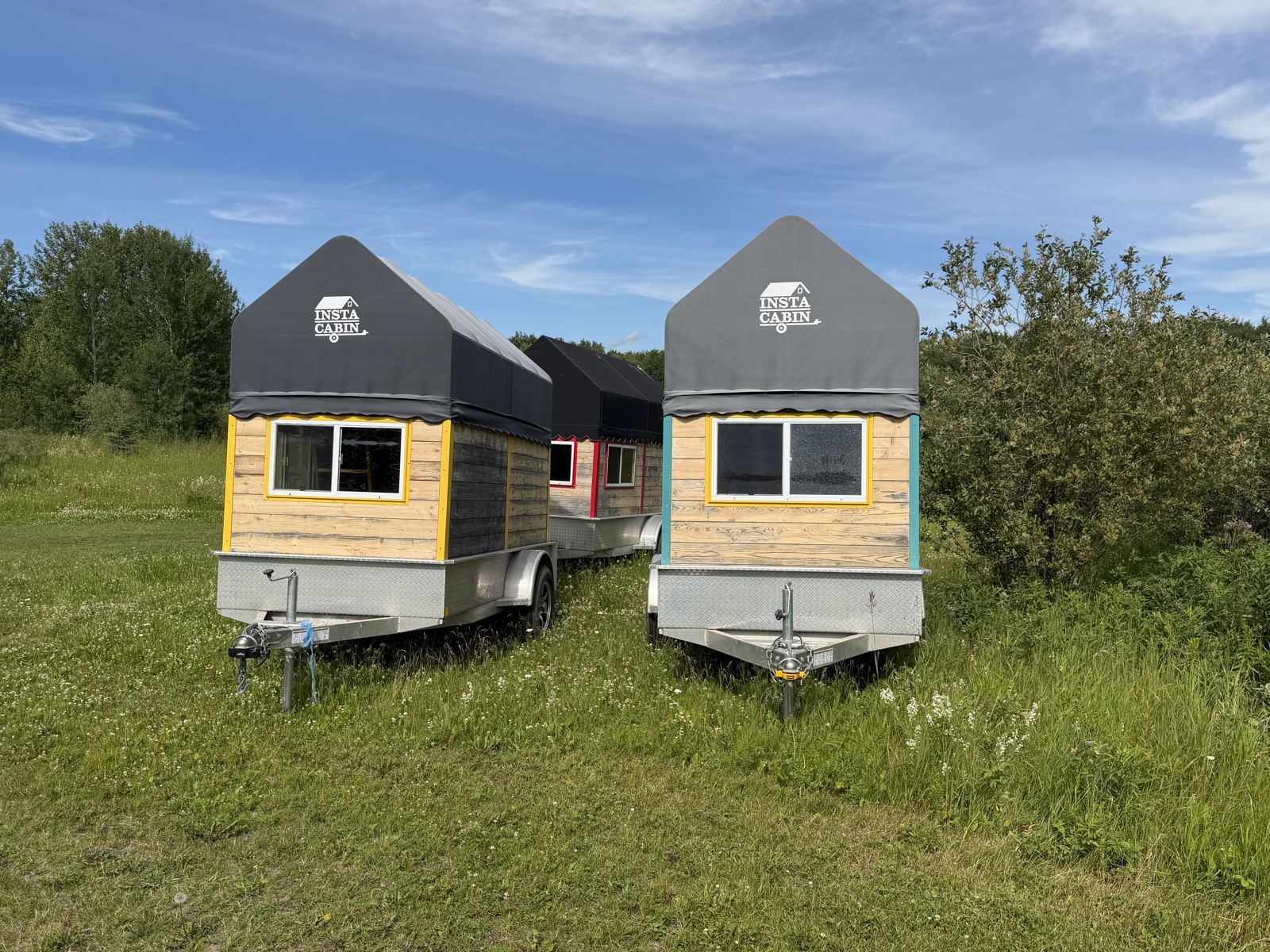
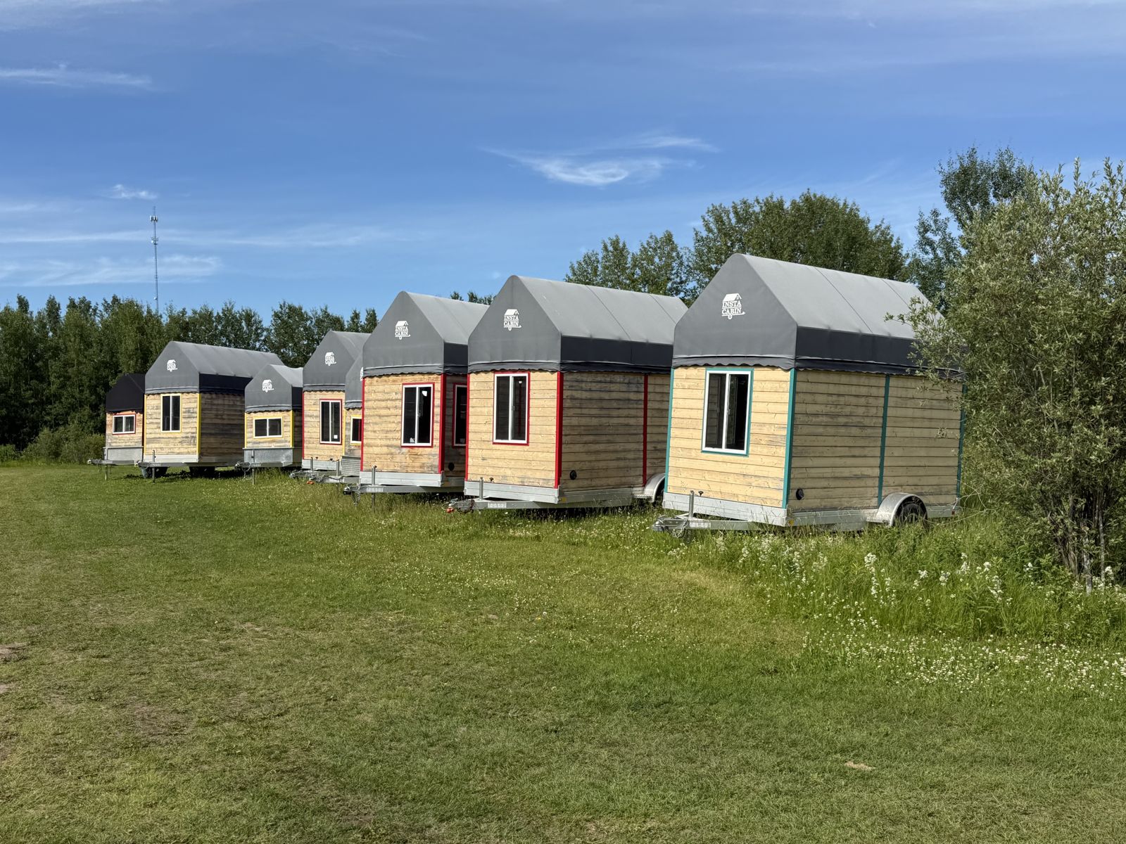
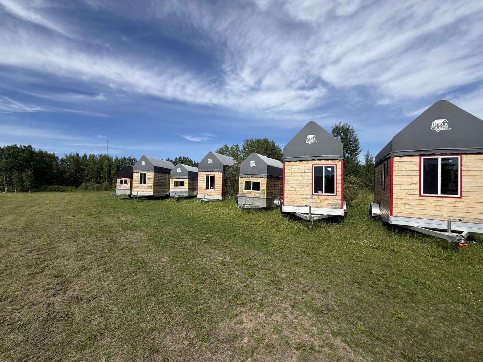
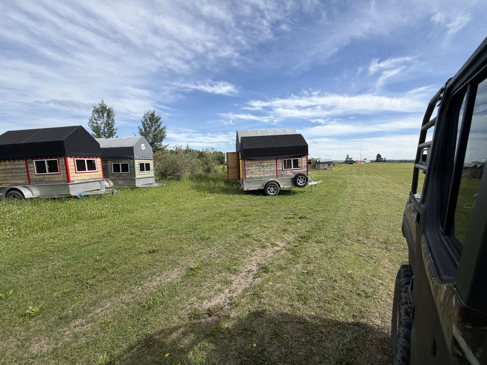
“Instacabins, the geodome, the sauna, the wedding stage — we spent a fair bit of time in that area. Lots to see.”
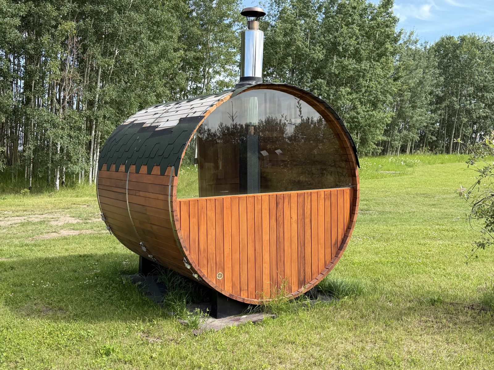
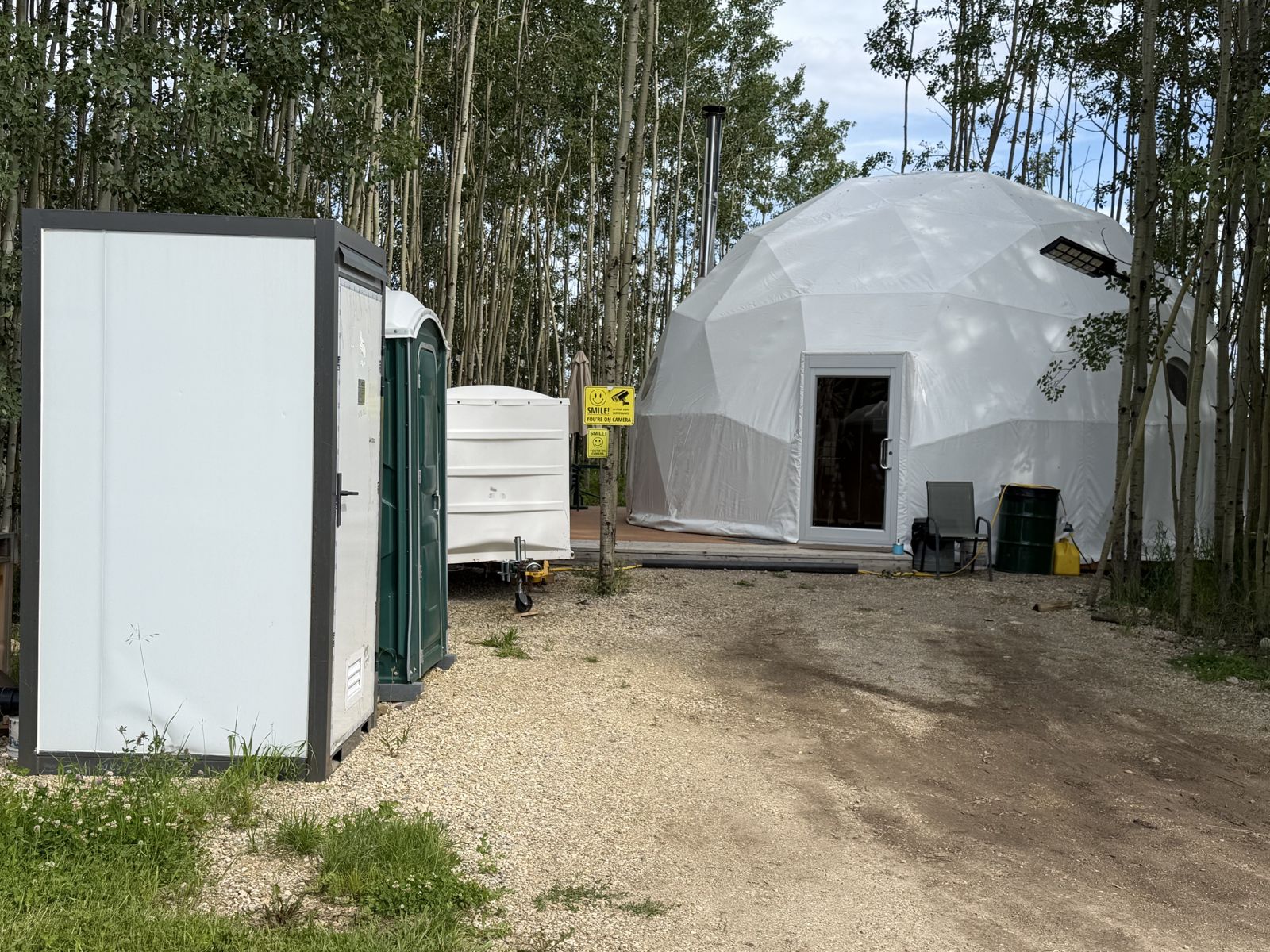
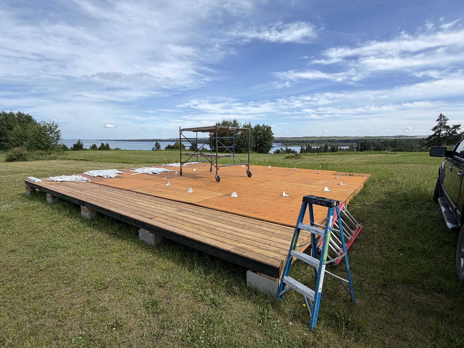
What the photos show: The Vista lands in full: the Village Vows outdoor wedding stage (villagevows.com), the Stargazer geodome and its wood-fired sauna, the new geodome going up, the furnished yurt (bookable at sebastays.com), and the InstaCabin row.
The Cliff-Edge Slope
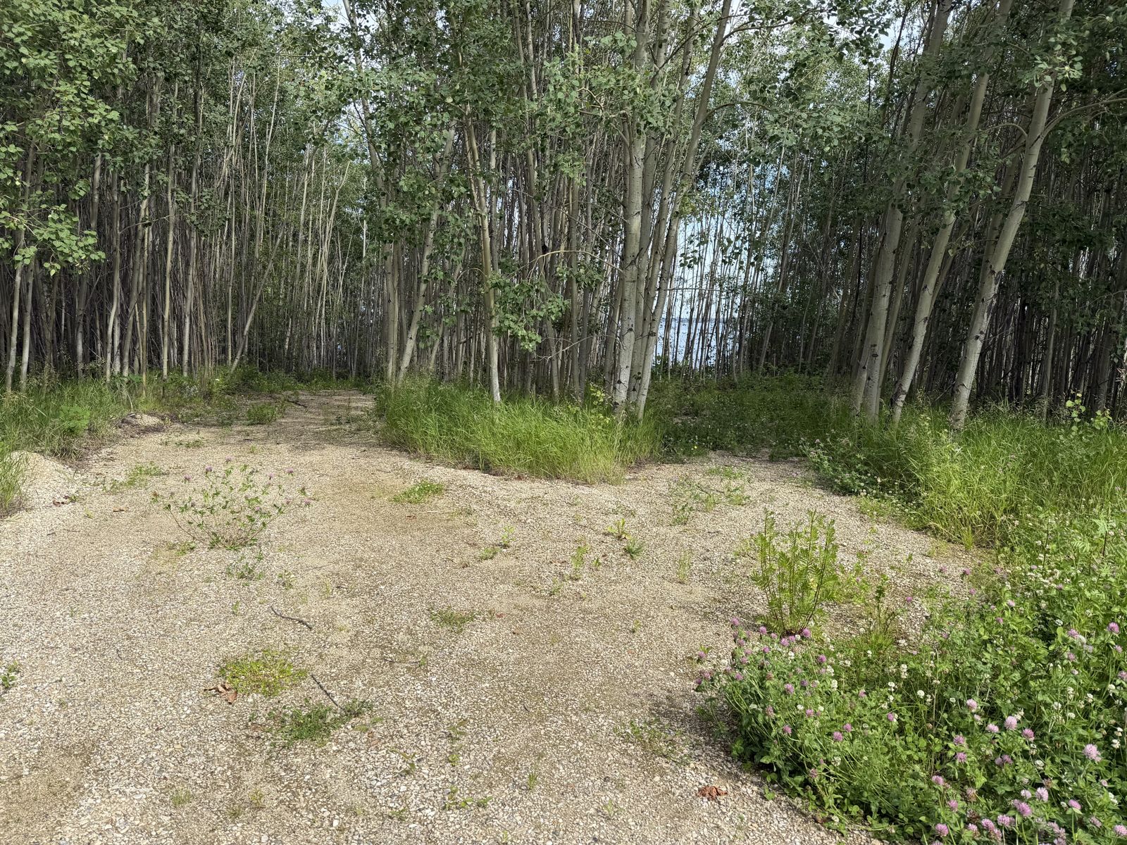
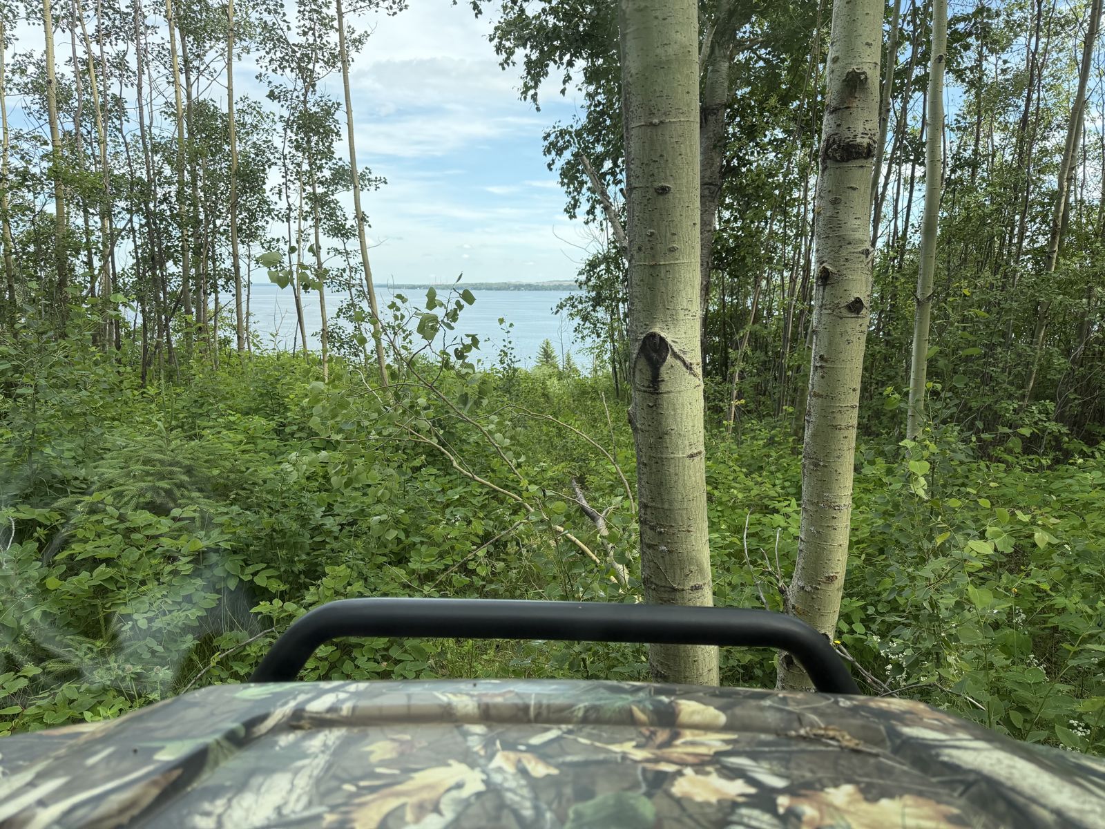
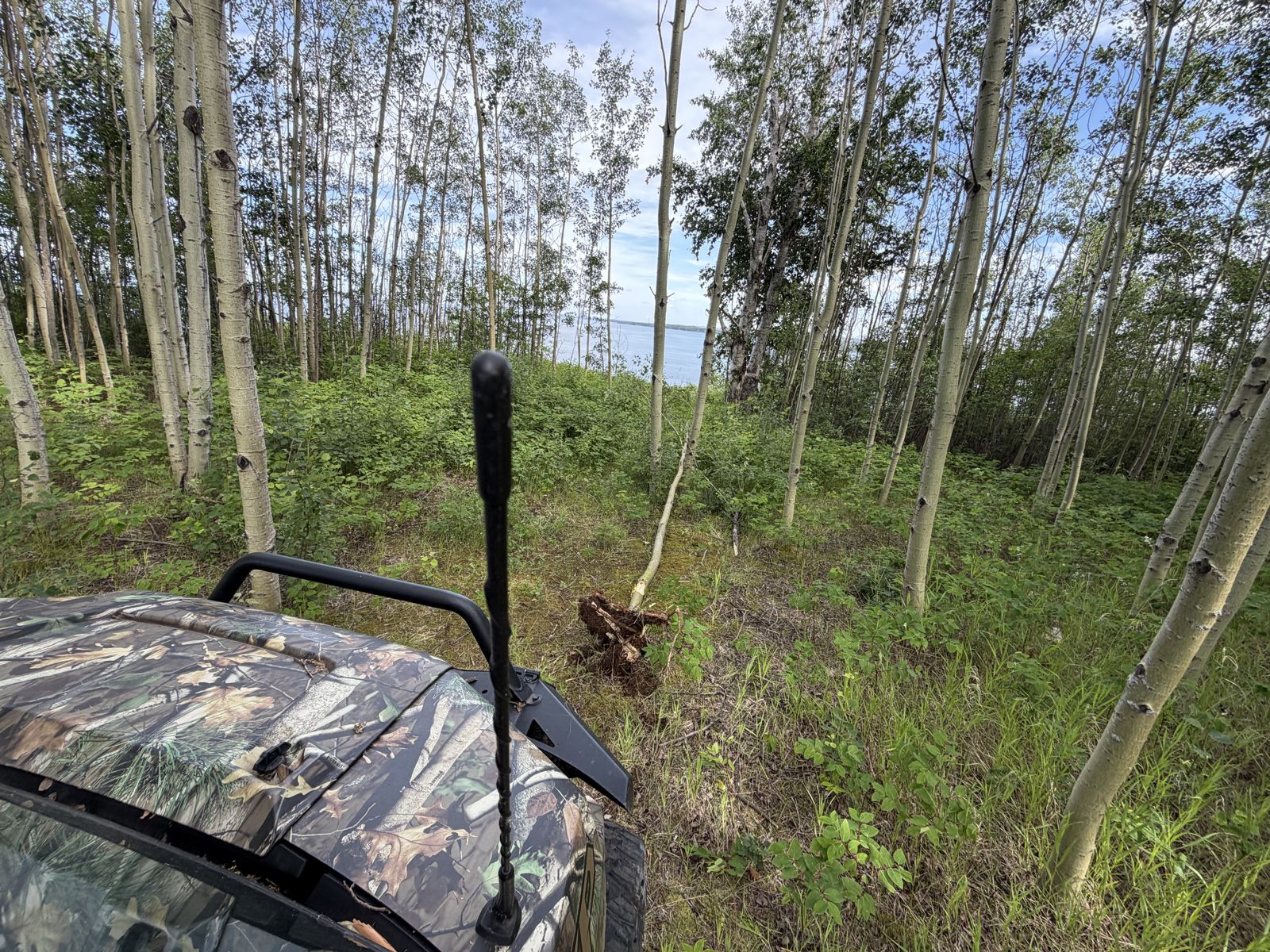
“I was standing at the edge, pointing things out, gesturing around. I wasn't thinking about my pockets, that's for sure.”
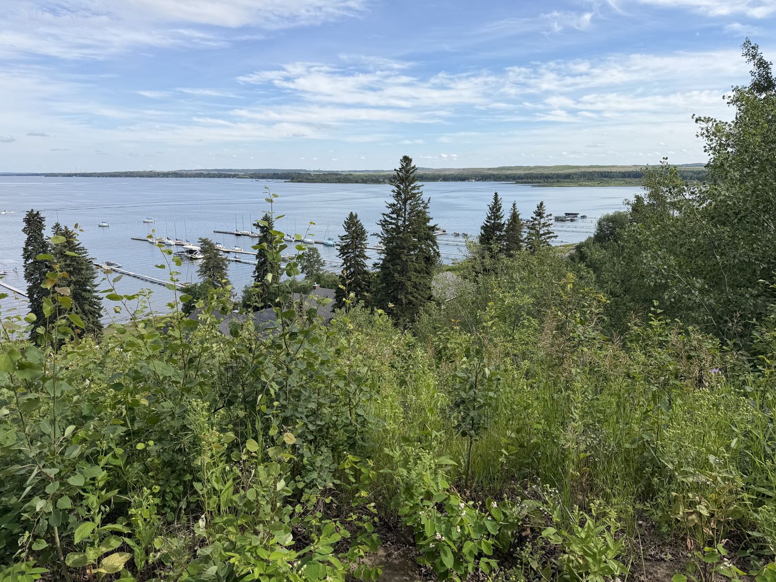
What the photos show: The wooded slope running down toward the lake at the Vista's edge — the narrow sightline where Tim got out of the side-by-side. Fresh-cut brush and uneven ground could conceal a small elastic-band bundle.
The Driving Range & Brewing at Seba
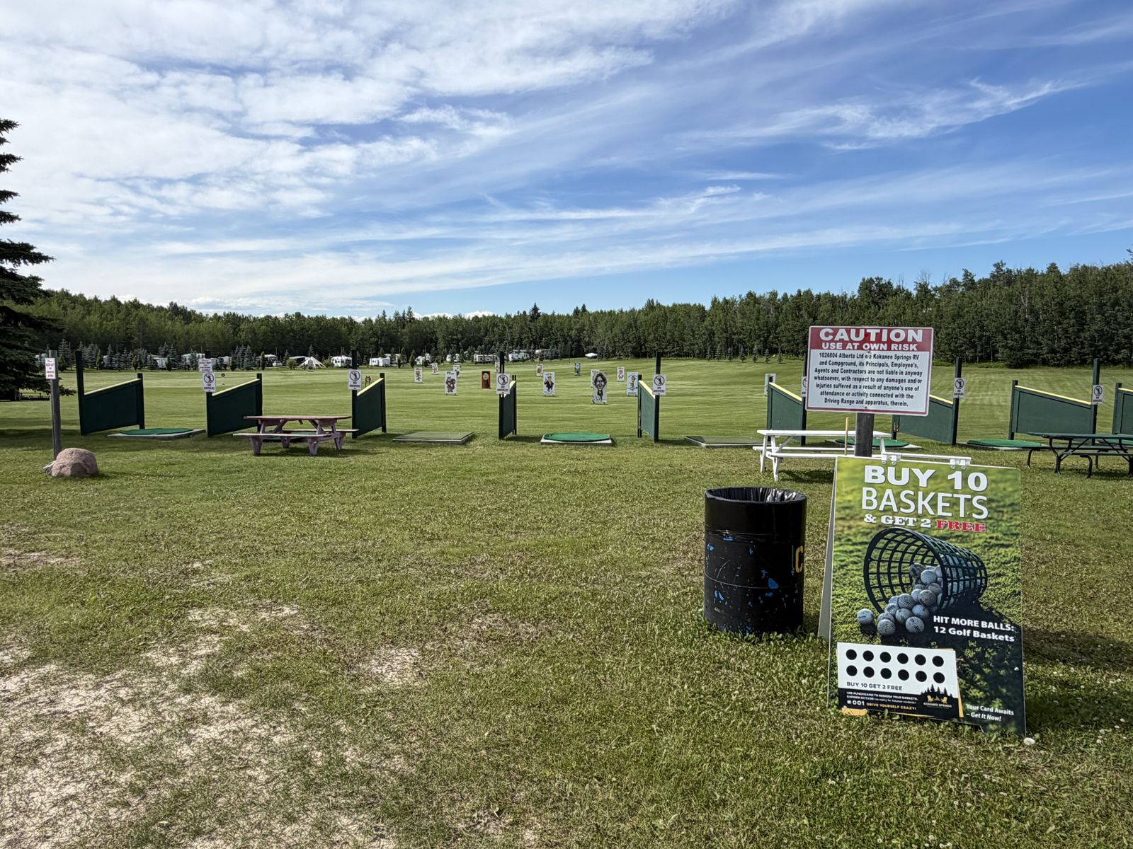
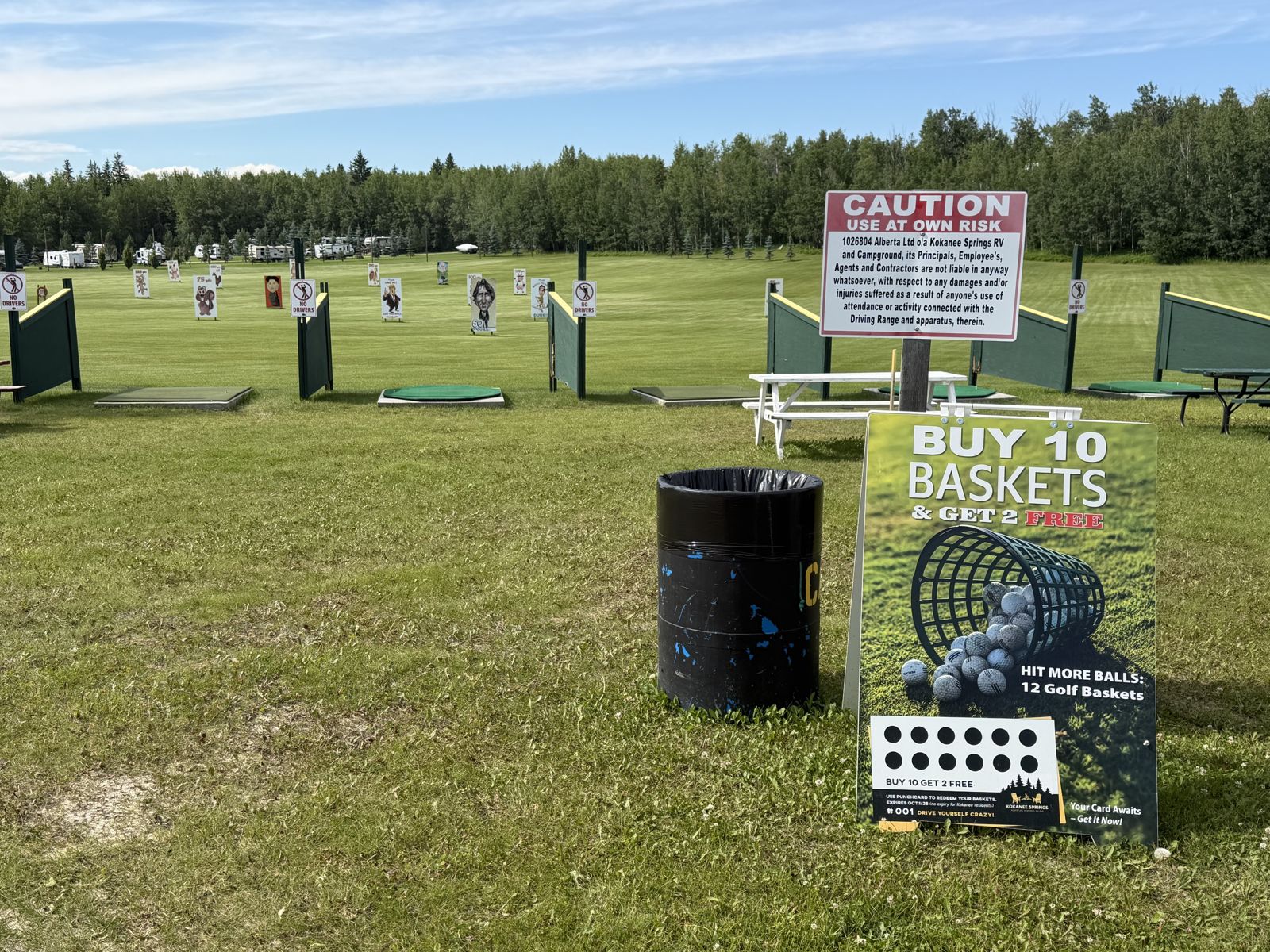
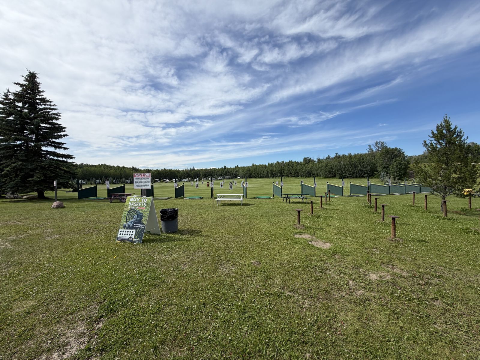
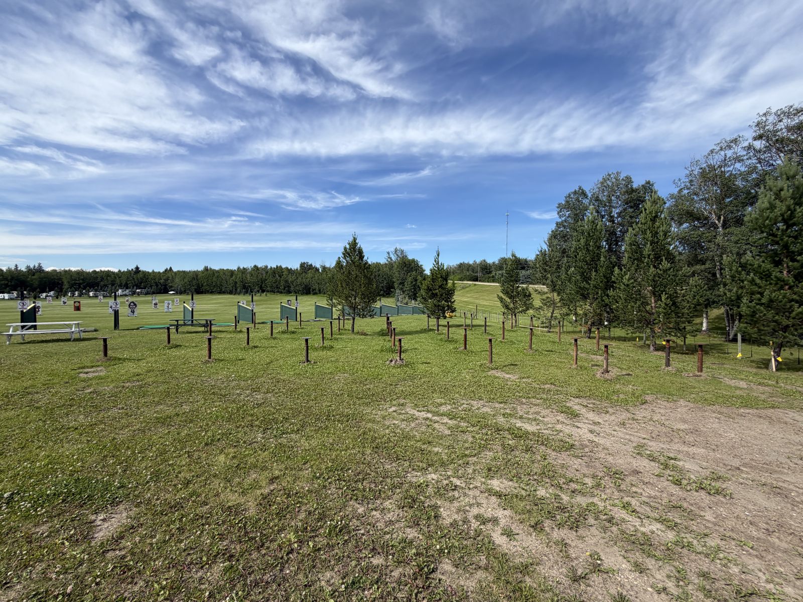
Part of the loop through the Kokanee grounds — the side-by-side rolled right past the range.
What the photos show: The Kokanee Springs driving range — tee bays, target boards and campground along the trees — plus Brewing at Seba. Do not dig anywhere on the range or disturb the business area.
Kokanee Springs RV — the Front Gate
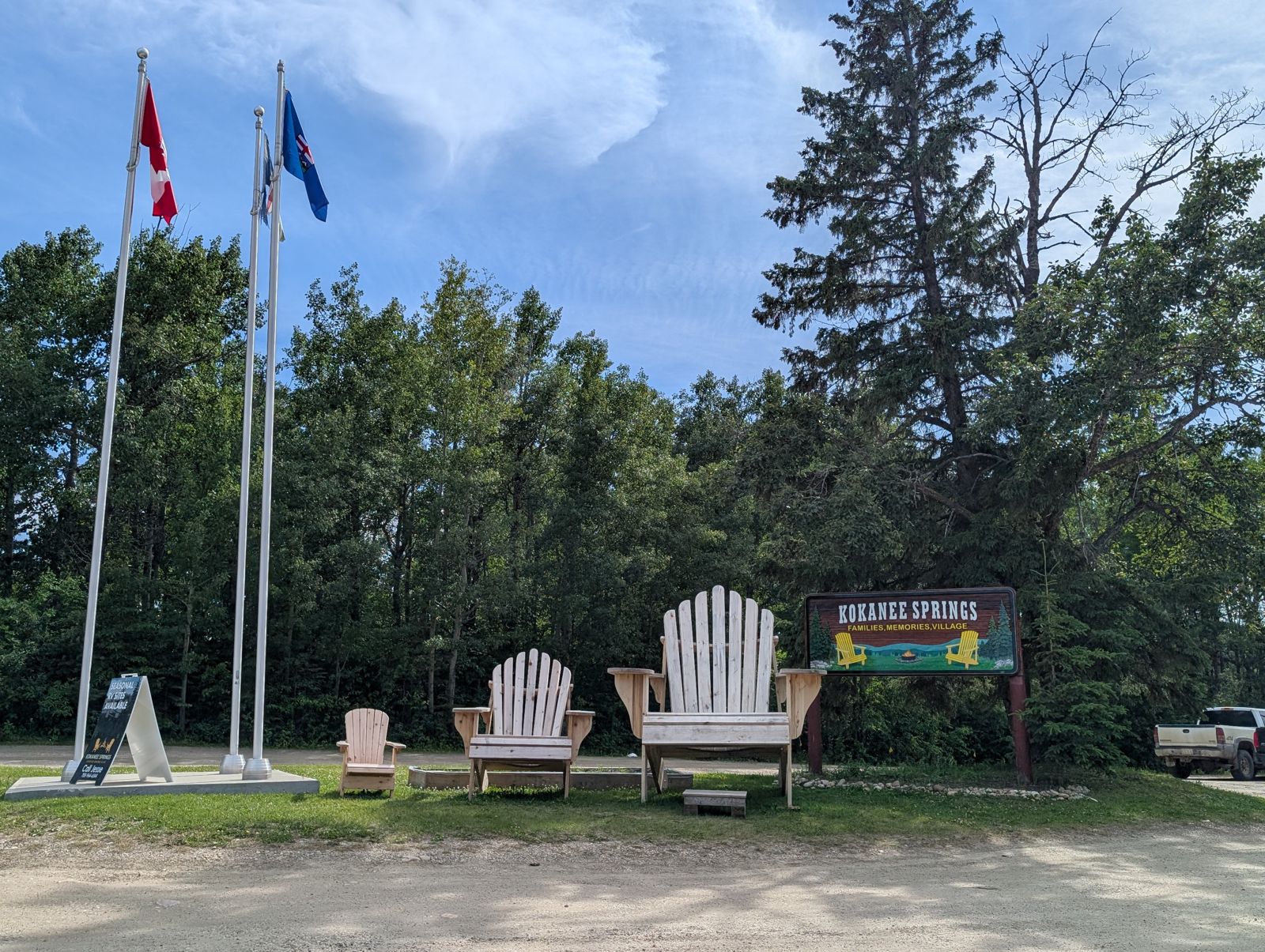
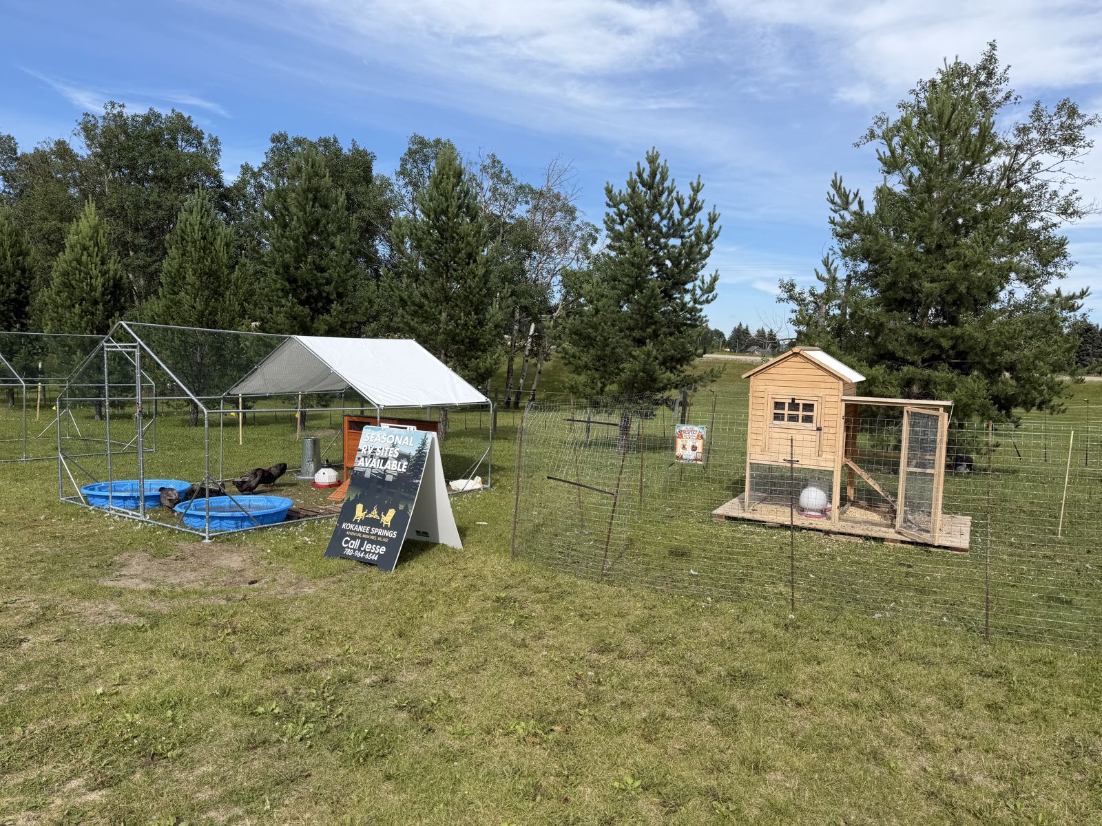
“Drove through the Kokanee Springs area — the community hub — on the way through.”
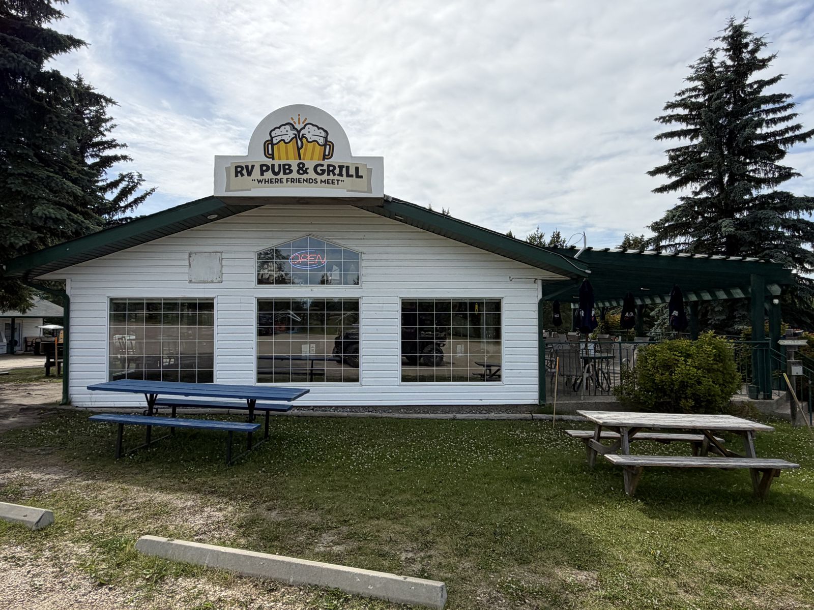
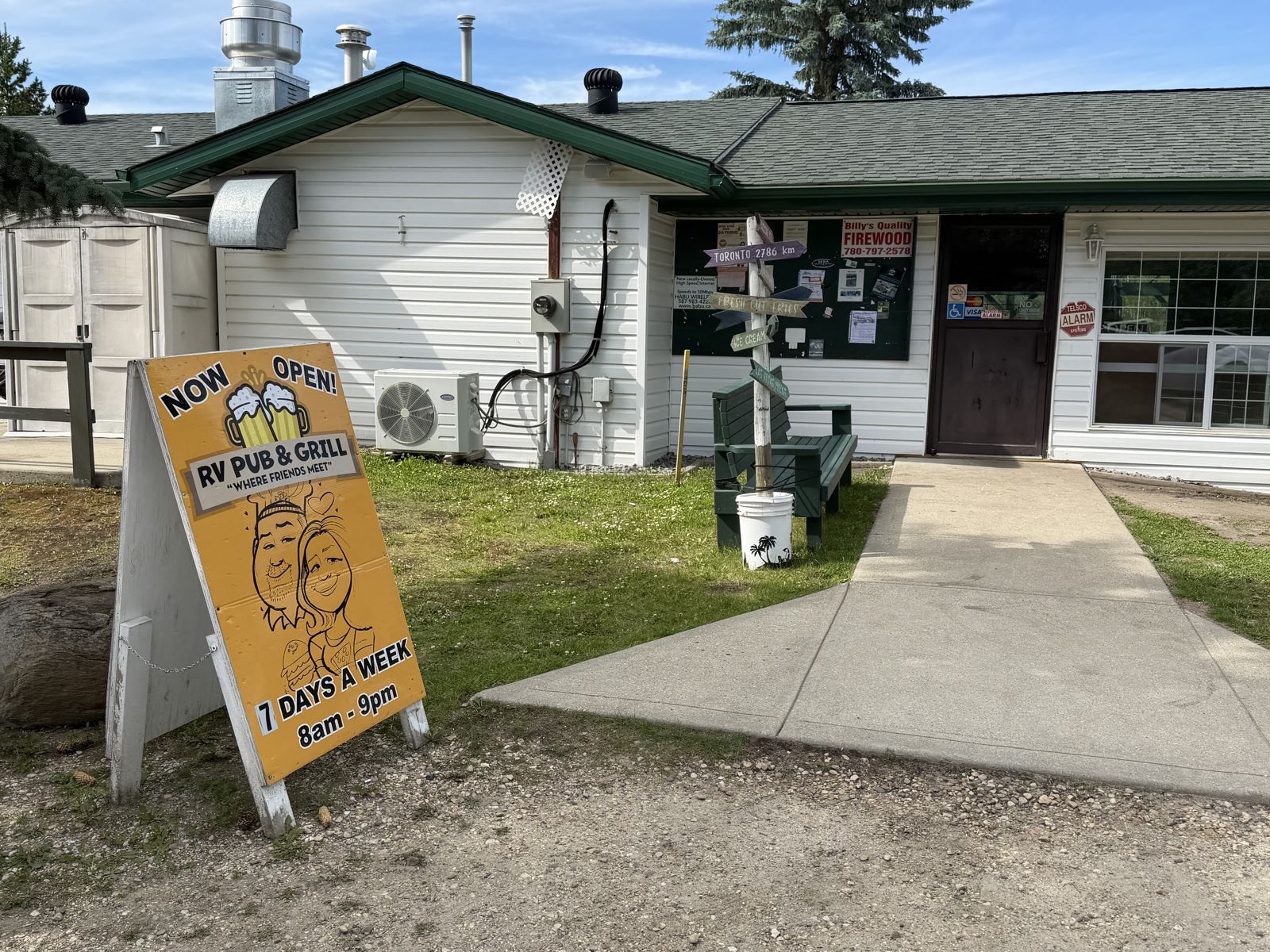
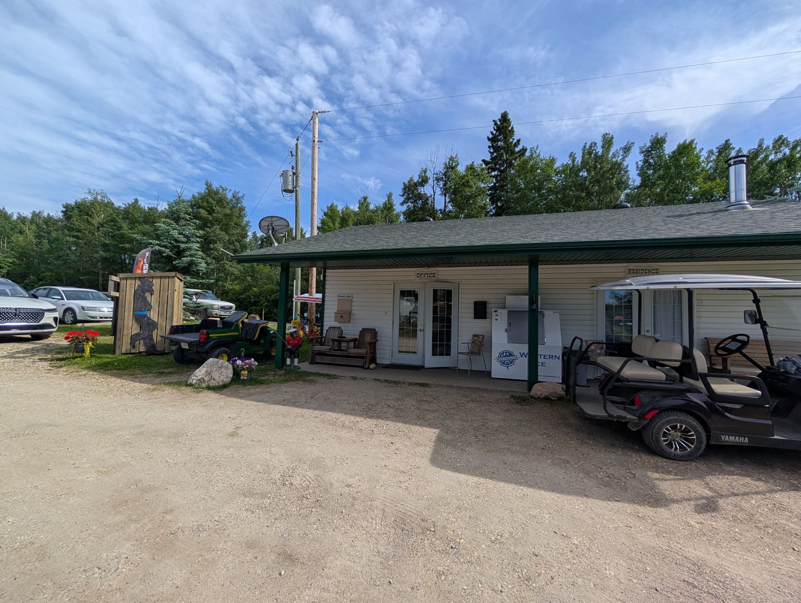
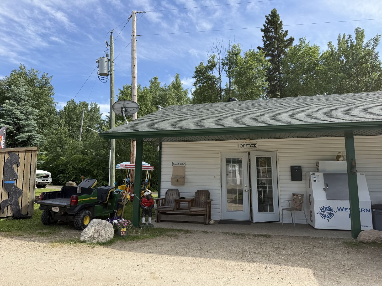
What the photos show: The Kokanee Springs front entrance in all its glory: the sign with the oversized Adirondack chairs, the office, the RV Pub & Grill, and the resident chickens and ducks holding down the fort.
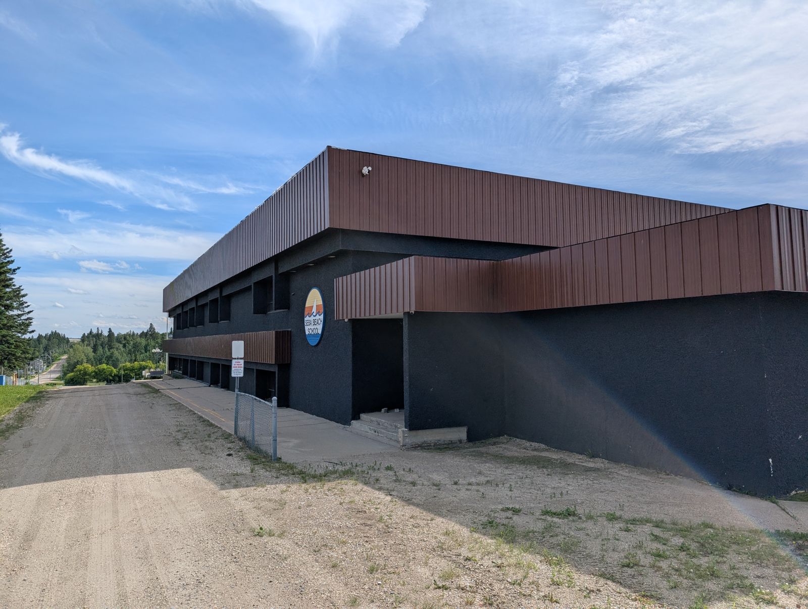
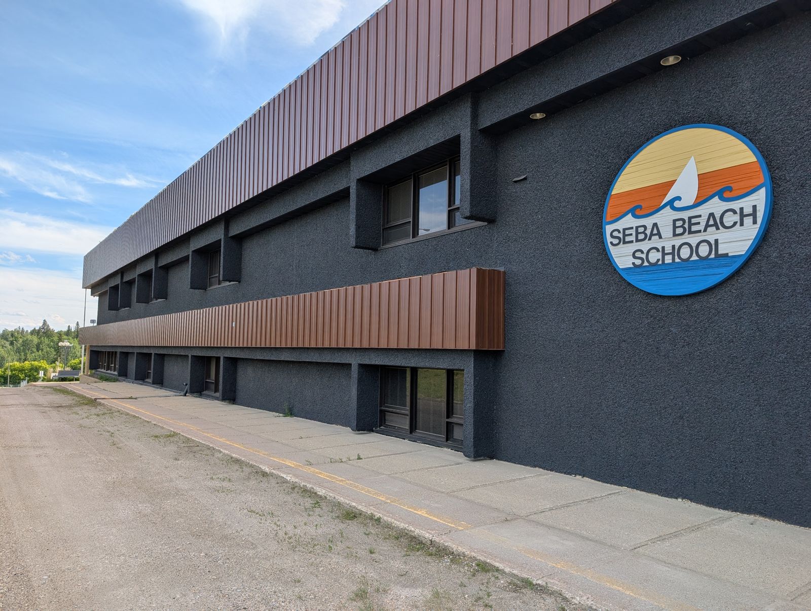
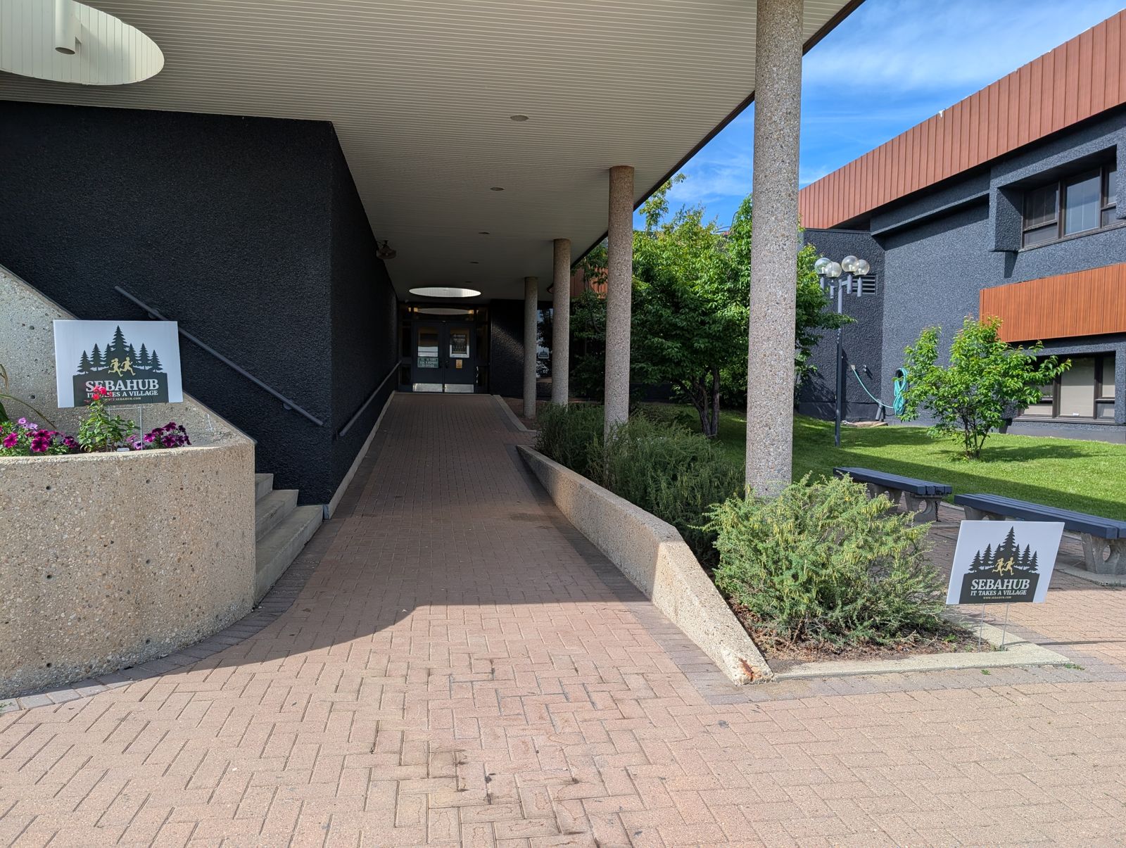
The Home Stretch — the Old Seba Beach School (SebaHub)
“Back to the school — I reached for my stuff and it was just... gone. Checked every pocket. Backtracked everything. Nothing.”
What the photos show: The former Seba Beach School — SebaHub's headquarters, the end of the loop, and the spot where Tim came up empty-handed. It's also the ID drop-off point: 162 Second Avenue.
61 public-safe photos · 13 named places · one precise member map. Tim's ID was found; check the current item board, status, and area labels before you search.
Continue with the case
Review Tim's first-person account, check the current rules, or send a private report with a photo and location.
Tim’s number is his personal cell. Please treat it with the same respect you would want for your own.
The ID has been found. Keep any other case item you find, then tell Tim or Casey so the community can follow the story. Qualifying golf balls go back to Casey only when you redeem the current offer.